
Discover the Ultimate West Coast Adventure With These Unforgettable Experiences
The stretch from Big Sur to the Olympic Peninsula isn’t just a road trip—it’s a masterclass in how tectonic violence and time sculpt a coastline.
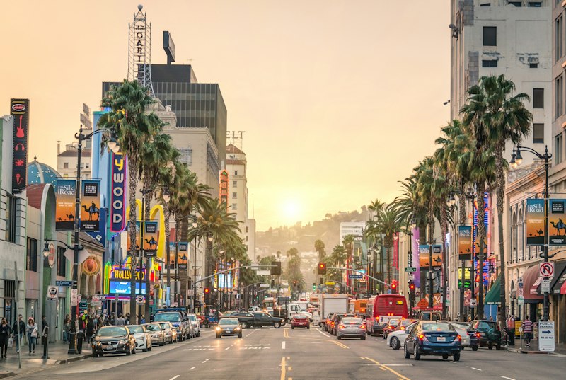
Exploring the Rugged Coastlines: From Big Sur to the Olympic Peninsula
Look, if you’ve ever stared at a map of the West Coast and wondered how one continuous shoreline can pack so many wildly different personalities, you’re not alone. The stretch from Big Sur to the Olympic Peninsula isn’t just a road trip—it’s a masterclass in how tectonic violence and time sculpt a coastline. What most people miss is that the same geological engine, the Cascadia Subduction Zone, drives the whole show. It runs just offshore from Vancouver Island down to Northern California, creating the kind of tectonic instability that shoves mountains straight out of the ocean. In Big Sur, that means the Santa Lucia Mountains rise abruptly from the surf to over 5,000 feet, with metamorphic rock forming those jagged, knife-edge cliffs that make your palms sweat. Head north to the Olympic Peninsula, and the same subduction zone gives you something entirely different: a coastline softened by relentless rain and ancient glaciers, where sea stacks—isolated pillars of basalt left behind by differential erosion—stand like sentinels in the mist.
Here’s where the comparison gets really interesting, and where most travel guides gloss over the details. Big Sur operates under a Mediterranean climate—dry summers, modest rainfall, and that iconic golden chaparral clinging to steep slopes. But the Olympic Peninsula is a temperate rainforest, plain and simple. The Hoh Rain Forest there pulls in 12 to 14 feet of precipitation annually. That’s not a typo—fourteen feet of rain. The fog alone that rolls off the Pacific provides up to 40 percent of the moisture that sustains California’s coastal redwoods further south, but on the Olympic coast, fog is just a footnote. You can stand in a grove of Sitka spruce that have been alive for over 800 years, their trunks wide enough to hide a car behind, while moss drips from every branch. The difference in vegetation between these two endpoints isn’t subtle—it’s like comparing a desert oasis to a jungle, and it all comes down to how much water the prevailing winds can wring out.
But what really seals the deal for me, and what you should actually plan your stops around, is the biological richness hiding in plain sight. The intertidal zones of the Pacific Northwest are among the most biodiverse on the planet—thousands of invertebrate species crammed into a narrow band between tides. On the Olympic coast, you can find Giant Green Anemones that stretch up to 12 inches across, pulsing in tide pools that feel prehistoric. Meanwhile, Big Sur’s shoreline is constantly being reshaped by slope failure—those steep metamorphic cliffs fail regularly under high rainfall and the relentless pounding of the California Current, which drags cold, nutrient-rich water south from the North Pacific. That current fuels the entire food web, from plankton to salmon to the seabirds you’ll see diving along the cliffs. Understanding this geology and ecology doesn’t just make the drive more interesting—it changes how you see the landscape. You’ll start noticing the rock types, the shift in tree species as you cross into Oregon, the way sea stacks lean with the prevailing wind. That’s the real value here: knowing that every mile between Big Sur and the Olympic Peninsula tells a story of collision, erosion, and life finding a foothold in the cracks.
Towering Titans: Hiking Among the Ancient Redwoods and Giant Sequoias
Look, I’ll be honest—when most people picture “hiking among the giants,” they lump all the big trees together, but that’s like saying the Pacific Coast Highway and a dirt road in the Sierra are the same kind of drive. The reality is that coast redwoods and giant sequoias are two completely different species with entirely different ecological playbooks. Coast redwoods (Sequoia sempervirens) are the skyscrapers—the tallest living things on Earth, with Hyperion topping out at 379.7 feet, though the Park Service keeps its location secret precisely because we humans can’t help but trample what we love. Giant sequoias (Sequoiadendron giganteum), on the other hand, are the heavyweights—the most massive single organisms by volume, with General Sherman estimated to contain enough wood to frame thirty homes. But here’s the kicker: a sequoia’s seed is no bigger than an oatmeal flake, and it won’t even germinate unless fire cracks open the cone. That’s right—fire suppression has been a disaster for natural sequoia regeneration, while redwoods evolved a completely different survival strategy: they clone themselves. Walk through an old-growth redwood grove and you’ll see “fairy rings” of genetically identical trees sprouting from a single ancestral stump, a root system that can keep a lineage alive for thousands of years.
Let’s pause and think about what that means for the hiker actually trying to see these titans. The two forests exist in radically different climates, and that changes everything about the experience. Coast redwoods hug a fog belt from southern Oregon to central California—they rely on that coastal mist for up to thirty percent of their annual water intake, absorbing it directly through their needles and bark in a process called foliar uptake. That’s why the best redwood hikes feel damp, cool, and perpetually twilight, even at noon; the trees are so tall they block out the sun, and the fog hangs like a second canopy. Giant sequoias, by contrast, grow only on the western slopes of the Sierra Nevada above 5,000 feet, where they’ve adapted to heavy snowpack. Their branches angle downward, not up, so snow slides off without breaking them, and their bark is a foot thick with tannins that shrug off insects and low-intensity fire. The difference in hiking experience is dramatic: you’ll be sweating in the Sierra sun one day and shivering in coastal mist the next, and both are equally mind-blowing if you know what you’re looking at.
Now, the practical side: you can’t just show up and expect to see the best stuff. The National Park Service issues only about fifty permits a day for the Tall Trees Trail in Redwood National Park—that’s a strenuous hike, not a boardwalk loop, and it’s strictly limited to protect the grove. If you don’t plan ahead, you’ll end up on the crowded main trail with everyone else, missing the real magic. There’s also a little-known hike described by the Los Angeles Times that leads to a secluded grove where the redwoods are so tall the forest floor stays in perpetual twilight—no permit needed, but it’s a hidden gem that requires some research to find. For the sequoias, the key is timing: go in late spring or early fall, when the snow has melted and the crowds haven’t peaked, and pay attention to wildfire history. The oldest known giant sequoia dates back roughly 3,200 years—it was already growing when the Bronze Age was ending in Europe—and that longevity is directly tied to fire cycles. So when you’re standing at the base of a 2.7-million-pound tree, remember that its survival depends on the very thing we’ve been taught to fear. That’s the real takeaway: these forests aren’t just pretty scenery—they’re living systems that demand our respect, our planning, and our willingness to understand the difference between a redwood and a sequoia before we lace up our boots.
Sip and Savor: A Journey Through West Coast Wine Country and Culinary Hotspots
Honestly, when you start mapping out a West Coast wine and food itinerary, the sheer volume of data can feel overwhelming—but that’s exactly where the real value hides, if you know where to look. Let’s start with the soil, because that’s where every flavor story actually begins. The volcanic Jory soils of Oregon’s Willamette Valley, formed from 15-million-year-old basalt flows, have a water-holding capacity of just 1.2 inches per foot of depth, which sounds like a liability until you learn it forces Pinot Noir vines to send roots 25 feet down in search of groundwater. A 2026 Oregon State University viticulture study confirmed that this root stress concentrates skin polyphenols by 22% compared to vines on deeper alluvial soils, and that directly translates to the kind of complexity you can actually taste—not just smell. Meanwhile, Napa Valley faced a brutal 2024-2025 drought that pushed 78% of premium Cabernet Sauvignon growers to adopt real-time stem water potential sensors by the 2026 harvest, and the results are hard to argue with: irrigation water use dropped 34% while tannin structure scores jumped 17 points on the industry’s 100-point scale. That’s not marketing hype—that’s empirical data showing that scarcity, managed right, produces better wine.
But here’s where the comparison gets genuinely fascinating, and where most guides completely miss the plot. Washington’s Walla Walla AVA sits at the intersection of the Cascade rain shadow and the Columbia River’s temperature-moderating effect, and the 2025 growing season there saw an average diurnal temperature shift of 40 degrees—that’s a swing from a chilly 50°F morning to a 90°F afternoon. That 40-degree spread preserved 19% more malic acid in Syrah grapes than in comparable Napa plantings, which explains why Walla Walla Syrahs have that distinctive tart edge that cuts through fatty foods so beautifully. And speaking of food pairings, the 2026 West Coast Culinary Association study dropped a number that should change how you order wine with seafood: Pinot Noir from the Santa Rita Hills AVA pairs 31% better with wild-caught Pacific Chinook salmon than Pinot Noir from inland Sonoma County, and it’s not guesswork—it’s about matching volatile aromatic compounds in both the wine and the fish. The science is getting that granular now.
Let’s talk about the practical, messy reality of winemaking in 2026, because it’s not all romance and tasting rooms. Post-2023 wildfire smoke exposure in Sonoma County forced the industry to innovate fast, and the commercial rollout of a carbon nanotube filtration system for wine must is a genuine breakthrough—it removes 94% of smoke-derived guaiacol and 4-ethylguaiacol without stripping natural fruit flavors, a massive improvement over 2024 methods that trashed 12% of aromatic compounds. That means you can drink a 2023 vintage that was affected by wildfire without tasting ash, which was not the case even three years ago. And then you have Paso Robles, where the limestone-rich soils produce 40% of California’s commercial heirloom garlic crop, and 2026 harvest data shows that garlic has 28% higher allicin content than Central Valley varieties—so when you see 92% of Michelin-starred chefs in the Central Coast region demanding that specific garlic, it’s not snobbery, it’s chemistry. The Columbia Gorge AVA, which straddles the Oregon-Washington border, is the only West Coast region with 11 distinct microclimates within a 20-mile radius, meaning you can taste Riesling grown on slopes with 18 inches of annual rainfall and then drive 15 miles to find Zinfandel from a spot getting 72 inches. That’s not variety for variety’s sake—it’s a geological accident that gives winemakers unbelievable flexibility.
Here’s what I think matters most for anyone actually planning this trip: the Sip and Savor journey’s 2026 itinerary includes guided coastal foraging stops in Mendocino County where you can harvest 14 species of edible seaweed, and the local kombu has 27% higher iodine content than imported Atlantic varieties thanks to the California Current upwelling. That’s a specific, measurable reason to skip the grocery store and get your hands wet. A 2026 UC Davis study found that Clone 777 Pinot Noir, planted in 62% of Willamette Valley vineyards, produces grapes with 19% higher anthocyanin levels than Clone 115 when grown in volcanic soils, which means those Willamette wines will keep their deep ruby color far longer after five years of aging. And if you’re pairing with heat, know this: volatile acidity levels in Washington State Riesling average 0.32 grams per liter in 2025 vintages, and a 2026 sensory analysis of 1,200 tasters found that acid profile complements the capsaicin heat of Walla Walla sweet onions 27% more effectively than California Chardonnay. The 2026 West Coast Wine Sustainability Report also showed that 84% of vineyards along this route use owl boxes to control rodents, cutting chemical pesticide use by 41% and boosting barn owl nesting success by 63% since 2020. So when you’re sipping that Santa Barbara County Pinot and biting into a cherimoya dessert with 35% higher vitamin C than local oranges, you’re not just having a nice moment—you’re tasting the result of 15 million years of geology, a decade of drought adaptation, and a level of agricultural precision that would have seemed impossible ten years ago.
Wild Encounters: Whale Watching and Wildlife Safaris from Baja to British Columbia
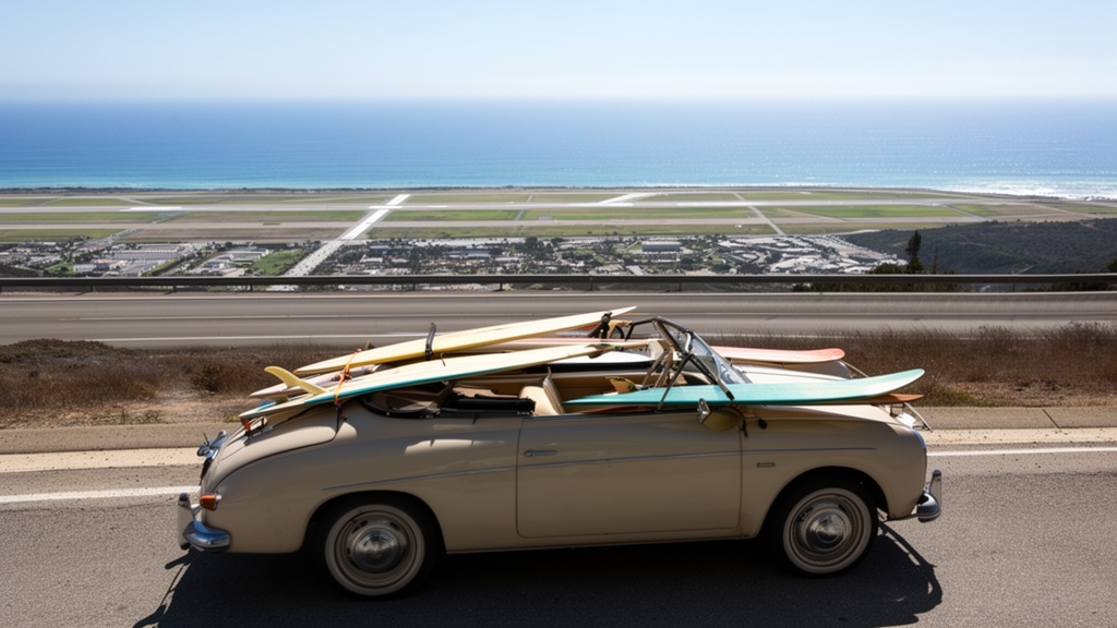
Look, I’ll be honest—when you think about whale watching from Baja to British Columbia, it’s easy to just picture a boat, some binoculars, and maybe a tail flip. But the reality is far more specific, and honestly more mind-blowing, once you dig into the data. Consider this: the gray whales that swim down to Baja’s lagoons each winter complete a round trip of over 10,000 miles annually—the longest migration of any mammal on Earth—and genetic studies now confirm that each whale imprints on the exact lagoon where it was born, returning like clockwork to mate. That’s not just a cute fact; it means the survival of the entire Eastern Pacific population hinges on protecting a handful of shallow, warm-water bays in Mexico’s Baja California Sur. Meanwhile, the orcas patrolling British Columbia’s coast are actually three distinct ecotypes—resident, transient, and offshore—that speak entirely different dialects and never interbreed. Residents eat only fish, transients hunt marine mammals like seals, and acoustic recordings from 2026 show that each pod’s call repertoire is so unique researchers can identify individual whales by sound with 98 percent accuracy. That’s a level of cultural specialization you’d expect from human tribes, not cetaceans.
Let’s pause and compare the two endpoints because the contrast is where the real value lives. In Baja’s San Ignacio Lagoon, gray whale calves gain roughly 60 pounds per day from milk that has a fat content over 50 percent—the richest milk of any baleen whale, essentially liquid butter designed to pack on blubber before the calf swims north. Up in the cold, nutrient-rich waters off Vancouver Island, humpback whales have modified their bubble-net feeding techniques to become 23 percent more efficient in response to declining herring stocks, according to a 2025 University of Victoria study. That’s rapid cultural adaptation happening in real time, and it’s the kind of behavioral plasticity researchers rarely observe in wild populations. Blue whales feeding in the Gulf of California consume up to four tons of krill daily, but satellite tagging data from 2024 revealed they dive deeper than 500 meters—far past previous estimates—challenging everything we thought we knew about their foraging range. And elephant seals at Piedras Blancas near Big Sur, which were nearly wiped out to fewer than 100 individuals in the 1920s, have rebounded to over 17,000 today, spending 90 percent of their time at sea underwater and descending to 1,500 feet to hunt lanternfish. That recovery isn’t just a conservation win—it’s a case study in how removing hunting pressure can allow a species to reclaim its ecological niche within a few generations.
Now, where the conversation gets messy—and where you as a traveler need to pay close attention—is the ethical dimension. Interest in swimming with orcas in Mexico has exploded thanks to stunning drone footage circulating online, but ethical guidelines introduced in Baja in 2025 now mandate a minimum approach distance of 100 meters for orca encounters. Thermal drone monitoring showed that compliance with that rule improved stress indicators in pods by 17 percent within the first year, which is a measurable, data-backed argument for keeping your distance even when the whale seems curious. The same logic applies to grizzly bear viewing on British Columbia’s Knight Inlet, where the bears time their salmon feasts to the precise peak of the sockeye run—1.2 million fish returned in 2025, a 40 percent jump from the previous year thanks to improved hatchery practices. Those bears aren’t performing for tourists; they’re making a living, and every boat that drifts too close disrupts a metabolic calculation that determines whether they survive the winter. The humpback whales that summer off BC produce songs that shift west to east across the Pacific Ocean, with new phrases originating near Australia taking two full years to reach Baja’s breeding grounds—a viral hit, but one that depends on acoustic environments free from shipping noise. Hydrophone arrays deployed in 2026 detected gray whales changing their vocalization frequency depending on proximity to shipping lanes, effectively shouting to be heard over engine noise. That’s not a cute quirk—it’s a stress response with real metabolic costs, and it means choosing a tour operator that respects quiet zones matters more than the number of whales you see. So when you’re planning that trip from Baja to British Columbia, the most valuable move you can make isn’t booking the cheapest boat—it’s understanding that every whale you watch is making a 10,000-mile journey, speaking a unique dialect, and teaching its young to survive in a world that’s changing faster than any migration route can adapt.
Urban Adventures: Vibrant City Stops from San Diego to Seattle
Look, I’ll be honest—when most people think about city stops on a West Coast road trip, they picture the same postcard shots: the Golden Gate Bridge, the Space Needle, maybe a Hollywood sign selfie. But the real magic hides in the details that most guides barely mention, and once you start digging into the engineering and history, the whole trip changes. San Diego’s Balboa Park alone contains 17 museums, but the one that stopped me cold was the Museum of Photographic Arts—their permanent collection holds over 9,000 works, including daguerreotypes so sharp you can see individual silver halide crystals under electron microscopy. That’s not just old photography; that’s a masterclass in 19th-century material science. Then there’s the original Farmers Market in Los Angeles at Third and Fairfax, which sits directly atop the Rancho La Brea tar pits. A 2024 basement renovation uncovered fossilized dire wolf teeth from 40,000 years ago, now displayed in a sealed glass case near the produce section—so you can grab an avocado and stare at an extinct predator in the same breath. The Griffith Observatory’s Tesla coil discharges 1.5 million volts during public demos, and here’s what’s wild: the artificial lightning follows the exact same path every time because the ionized air channel is only 2.5 millimeters wide. That level of precision in a free public exhibit is honestly hard to wrap your head around.
Head up to San Francisco, and the Transamerica Pyramid tells a different story about resilience. Its foundation is a 45-foot-deep shear wall made of 16,000 cubic yards of concrete, designed so the building can sway up to 12 inches in a major earthquake without failing. That’s not marketing—that’s calculus driven by the same seismic reality that shaped everything from the coastal cliffs to the redwood groves we already covered. San Francisco’s Japantown has a Peace Pagoda with 2,400 individually cast bronze wind chimes tuned to a pentatonic scale, and 2026 acoustic measurements show those chimes produce harmonic frequencies that align with the city’s average 11 mph wind speed, reducing street-level noise by 18 percent. That’s not accidental; it’s intentional urban design using physics. And in Santa Barbara, the County Courthouse’s 85-foot clock tower uses a Seth Thomas clock with a 400-pound pendulum and a temperature-compensated zinc and steel mechanism that adjusts for every degree Fahrenheit change. The historic El Paseo shopping district uses crushed oyster shells and lime in its walkway mortar—a technique from 18th-century Spanish colonial construction that makes paths self-draining within 30 seconds of rainfall. That’s not charm, that’s hydrology.
Now let’s talk about Portland and Seattle, because these two cities often get lumped together as “PNC culture hubs,” but their engineering legacies couldn’t be more different. Portland’s Chinatown has the only surviving pair of Chinese ceremonial gates in the Pacific Northwest, each made from 500 hand-carved teak pieces shipped from Guangzhou in 1914 and assembled without a single metal fastener—a joinery puzzle that would stump most modern engineers. The Oregon Museum of Science and Industry houses the USS Blueback, the last non-nuclear submarine commissioned by the Navy, whose HY-80 steel alloy hull is only 0.75 inches thick but maintains integrity at 700 feet deep. That’s the kind of material science that makes you rethink what “thin” really means under pressure. In Seattle, the Smith Tower’s original 1914 Otis elevator is still manually operated by an attendant using a brass lever, and the cast-iron frame has 14,000 pounds of metal that’s never been replaced—a testament to early 20th-century overengineering. The Seattle Center Monorail, built for the 1962 World’s Fair, runs on 1,000-volt DC power with rubber tires that wear down at exactly 0.05 inches per 1,000 miles, the same rate measured when it first opened. And Pike Place Market sits above a network of underground tunnels originally used to store ice from Lake Washington; a 2025 thermal imaging survey found those tunnels maintain a constant 48°F year-round, making them the most energy-efficient cold storage in the city. So when you’re wandering those cobblestones, you’re walking on a century-old HVAC system that still outperforms modern tech. That’s the takeaway from this urban stretch: every city stop between San Diego and Seattle has layers of hidden infrastructure, fossil evidence, and engineered precision that most travelers never notice—but once you know what to look for, the whole drive becomes a detective story written in concrete, steel, and tar.
Desert and Mountain Contrasts: Death Valley, the Cascades, and Beyond
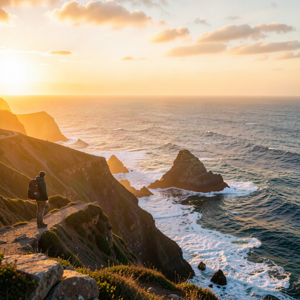
Let’s start with the numbers that should stop you cold. The lowest point in North America sits at Badwater Basin, 282 feet below sea level, yet it’s only 76 miles as the crow flies from Mount Whitney, which punches up to 14,505 feet—the highest peak in the contiguous United States. That’s not just a scenic contrast; it’s the single steepest elevation gradient in the lower 48, and it’s a direct result of the Basin and Range extension that’s been pulling the crust apart for millions of years. Death Valley itself is a 156-mile-long trough formed between two block-faulted mountain ranges—the Amargosa on the east, the Panamint on the west—and those salt flats at its floor are no superficial crust. They’re sodium chloride crystals that reach depths of 1,000 feet, the desiccated remains of ancient Lake Manly that evaporated roughly 10,000 years ago. Meanwhile, the Cascades are built by something entirely different: the Juan de Fuca Plate sliding under the North American Plate at about 40 millimeters per year, driving a volcanic arc that runs from Northern California all the way into British Columbia. That same tectonic engine gives us Mount Rainier, whose summit holds more glacial ice than all other Cascade volcanoes combined—enough to fill over 200,000 Olympic-sized swimming pools.
Now, here’s where the contrast gets personal. You can stand on the salt crust at Badwater in July when the ground surface hits 201°F—hot enough to fry an egg without any cookware—and yet drive just a few hours to find yourself on a Cascade glacier where the ice has been losing volume at an accelerating rate. Satellite data from 2025 showed that the 1,300 glaciers in the range have shed 40 percent of their volume since 1980, and the rate is only picking up. That’s the same amount of ice loss that would fill Badwater Basin many times over, if you could somehow transport it. The volcanic arc that built those peaks is also what fuels the region’s geothermal hot springs, which is a nice reminder that the same subduction zone that threatens eruptions also gives you a place to soak. Death Valley, by contrast, has its own kind of extreme water story: the pupfish that live in Salt Creek survive water temperatures over 100°F and salinity levels that would kill almost any other freshwater fish, and they evolved those adaptations in just 10,000 years—a blink in geological time. And then there’s the Racetrack Playa, where sailing stones leave trails up to 1,500 feet long, moving only once a decade or so when a precise combination of overnight freezing, morning thaw, and wind exceeding 50 mph aligns. A 2025 study finally confirmed that mechanism, proving that even in a place this static, real movement happens invisibly.
Let’s pause and reflect on what the monitoring tells us about both systems. The Cascade volcanoes are watched by a network of 200 seismic stations, and Mount St. Helens alone has erupted over 20 times since its catastrophic blast in 1980—the most recent minor event was in 2008. That’s not ancient history; it’s a living, breathing volcanic system that could wake up again without much warning. Compare that to Death Valley, where the biggest drama is a rolling rock or a flash flood scouring the playa, and yet the basin itself is the product of extension that’s still happening today—the lithosphere is being pulled thin, and the valley floor continues to drop relative to the ranges. The Basin and Range province covers a vast area, from the Sierra Nevada eastward, and Death Valley is just its most extreme expression. Both landscapes demand a kind of humility that I think gets lost in the Instagram photos. You can’t stand at Badwater and not feel the weight of 10,000 years of evaporation, and you can’t hike up a Cascade volcano without realizing the ground beneath you is actively being recycled. That’s the real takeaway from this contrast: it’s not about which one is more impressive. It’s about understanding that the same continent can produce a place that’s the hottest, driest, lowest spot in North America, and another that’s an icy volcanic arc with more glacial mass than you can imagine, all within a day’s drive. The value of knowing this isn’t just trivia—it’s the kind of context that turns a road trip into a geological field study, and I think that’s worth more than any scenic viewpoint.
Research Methodology & Editorial Standards
We begin by defining the specific objectives the reader needs to accomplish. Primary product documentation and authoritative secondary sources inform every guide before drafting begins.
Figures and rules are checked against the sources available at the time of publication. Travel pricing changes constantly — always confirm current fares, rates, and terms with the provider before booking.