
Your Ultimate West Coast Adventure in 2024 Starts With These Stunning Destinations
If you're into the grit and the science of the coast, Big Sur is where it gets real.
California Dreaming: Iconic Coastal Cities and Sun-Drenched Beaches
Look, we've all seen the postcards of sun-drenched beaches and palm trees, but the reality of the California coast is way more interesting than a filtered photo. When you're planning a trip, it's easy to just aim for the big names, but I think the real magic happens when you look at the actual geography and the weird quirks of the land. Take Highway 1, for instance; most people think it's a nonstop ocean view, but the stretch from Cambria to Santa Barbara actually dips inland about half the time. You'll find yourself winding through these oak-studded hills instead of staring at the surf, which honestly gives you a better sense of the state's actual terrain.
I've always found the "European" vibe of towns like Capitola fascinating because it's kind of a clever illusion. Those rainbow buildings aren't some ancient Mediterranean relic; they were intentionally designed in the 60s to mimic a fishing village. It's a bit artificial, sure, but it works. If you're choosing between the north and south, you've got to consider the climate shock. San Francisco's beaches are often buried in a thick summer fog because of the cold Pacific upwelling, and the water can hit a freezing 55°F in July. Compare that to Santa Barbara, where the Santa Ynez Mountains act as a giant shield, keeping the temperature swing between summer and winter to only about 10 degrees.
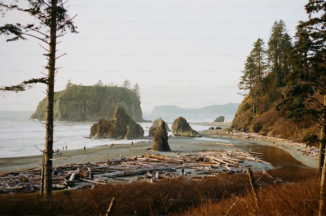
If you're into the grit and the science of the coast, Big Sur is where it gets real. You've got Pfeiffer Beach, where the sand actually turns purple after winter storms because of manganese garnet deposits. And while we love the views, the real story is underwater. The kelp forests here grow up to two feet a day, creating a massive biological structure that's basically the West Coast's version of a coral reef. It's a fragile system, but seeing how the sea otter population bounced back from just 50 survivors in 1938 to save these forests is a pretty wild success story.
Then you hit the south, and places like La Jolla Cove in San Diego show what happens when you actually protect a space. Because they banned fishing there back in 1971, the water clarity is insane—sometimes over 30 feet—and you can see giant black sea bass just chilling. It's a stark contrast to the high-traffic tourist zones. My advice? Don't just stick to the paved path. Get off the main drag, look for the endemic foxes on the Channel Islands, and embrace the parts of the coast that aren't just for the cameras.
The Pacific Northwest: Rainforests, Peaks, and Urban Vibes
Youknow that feeling when you realize a place is way more complex than the postcards suggest? That’s the Pacific Northwest in a nutshell, and honestly, it’s what makes this corner of the world so addictive for a deep-dive traveler. We’re not just talking about some rainy woods here; we’re looking at a massive bi-national powerhouse that stretches from the Rockies to the Pacific, and the data behind its ecosystems is just wild. Take the Hoh Rainforest on the Olympic Peninsula—it’s basically a water-processing machine, pulling in over 140 inches of precipitation every year. That sheer volume of water is exactly why you get those 300-foot Sitka spruces that feel like they’re holding up the sky.
But here’s where it gets really interesting from a geographical standpoint: the region is defined by some serious tectonic drama. The Cascadia subduction zone is a 680-mile fault line that’s been quiet since 1700, but the fact that it can produce a magnitude 9 earthquake gives the whole landscape a "living on the edge" vibe. You’ve got Mount Rainier sitting there with 25 major glaciers—more than any other mountain in the lower 48—and seeing those ice fields retreat in real-time is a stark reminder of how fast this place is changing. It’s not just about the pretty peaks, though; it’s about how these massive geological features dictate where people can actually build a life.
When you pivot to the cities, the contrast is sharp. Seattle and Portland aren’t just "urban vibes"; they are masterclasses in managing growth. Portland’s urban growth boundary, which they’ve stuck to since 1979, has literally saved over 2 million acres of farmland from being paved over. It’s a bold move that keeps the wilderness right at your doorstep. And if you’re in Seattle, you can’t miss Pike Place Market. It’s been tossing 10,000 pounds of fish across the counter every year since 1907, which is a level of organized chaos that you just have to see to believe.
I think the real magic, though, is how you can go from the concrete grid of Capitol Hill to the raw power of the Columbia River Gorge in a single afternoon. That 80-mile canyon isn't just a pretty drive; it’s an Ice Age relic carved by floods, and those 90 waterfalls, like the 620-foot Multnomah Falls, are just the surface. If you’re looking for the ultimate "clean" experience, head to Crater Lake. The water is so pure that visibility often hits 100 feet, making it the deepest lake in the country at 1,943 feet. It’s a lot to take in, but that’s the thing about the PNW—it doesn't do "small." It’s big, it’s a bit moody, and it’s absolutely worth the effort to understand the layers.
Epic Road Trips: Cruising the Pacific Coast Highway and Beyond
Let’s be honest: when most people picture the Pacific Coast Highway, they’re imagining a postcard-perfect ribbon of asphalt hugging the cliffs of Big Sur, with the ocean stretching out forever on one side and nothing but blue sky on the other. And sure, that version exists—but it’s only a fraction of the story, and honestly, it’s the part that’s most vulnerable to traffic jams and overpriced parking lots. What I find far more compelling is the raw, unpolished reality of the road, where the engineering itself becomes part of the narrative. Take the Bixby Creek Bridge, for example; when it opened in 1932, it was the longest concrete arch span in the world at 714 feet, and it’s still standing strong despite the constant assault of salt spray and seismic activity. But here’s the thing about Highway 1 that most people don’t realize: it’s a living, breathing piece of infrastructure that’s constantly fighting the elements. The 2017 Mud Creek landslide dumped over 6 million cubic yards of debris onto the road, shutting it down for 14 months and costing $54 million to fix—a stark reminder that this isn’t just a scenic drive, it’s a battle against gravity and geology.
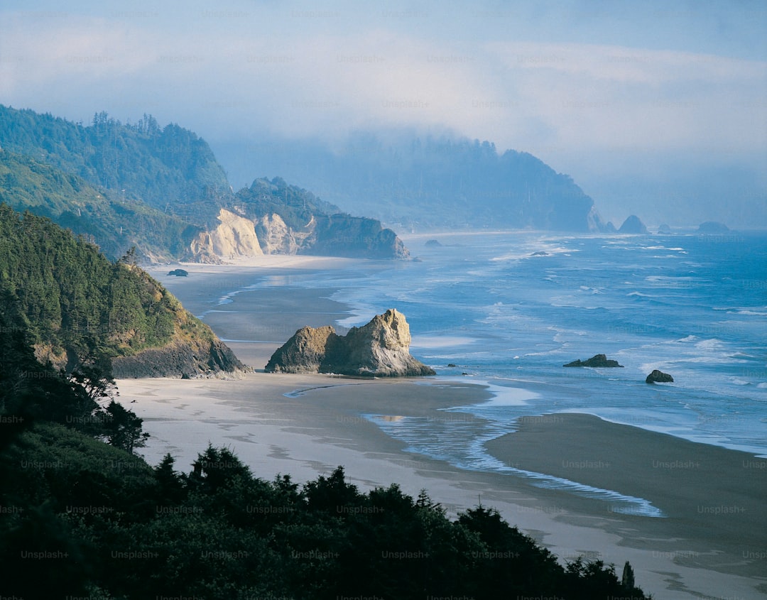
If you really want to understand the coast, you have to look beyond the paved path and consider the places that the highway itself couldn’t tame. The Lost Coast of California is the longest stretch of undeveloped coastline in the lower 48 states, and there’s a reason for that: the King Range rises 4,099 feet within just three miles of the ocean, creating the steepest coastal mountain gradient in the contiguous US. That kind of topography made it impossible to build a road, so the highway was forced inland, leaving this wild, rugged stretch accessible only by a gravel road that demands a high-clearance vehicle and a healthy respect for isolation. It’s a completely different experience from the polished, curated stops along the main route, and I think that’s where the real value lies for anyone who’s willing to trade comfort for authenticity. Then you’ve got Oregon’s Dunes National Recreation Area, which spans 40 miles of coastline with some dunes reaching 500 feet—a landscape that feels more like the Sahara than the Pacific Northwest. And if you’re timing it right, you can catch Thor’s Well at Cape Perpetua during high tide, where the ocean surges 20 feet into the air through a deceptive sinkhole that looks like it’s draining the entire Pacific.
Now, let’s talk about the redwoods, because this is where the road trip shifts from a scenic drive into something almost spiritual. The coast redwood ecosystem stores more carbon per acre than any other forest type on Earth, and the trees themselves can live for over 2,000 years—which means some of the giants you’re driving past were already ancient when the Roman Empire fell. The tallest one, Hyperion, stands 380 feet tall, but its location is kept secret to protect it from the kind of foot traffic that would compact the soil and damage its root system. Instead, you can drive the Avenue of the Giants, a 31-mile stretch of old Highway 101 that winds through the world’s largest contiguous old-growth redwood forest, where trees over 1,000 years old line the road like silent sentinels. It’s a humbling experience, and it puts the whole concept of a “road trip” into perspective—you’re not just driving through scenery, you’re passing through a living timeline.
But here’s where I think the real analytical value comes in: understanding the trade-offs between the different segments of this route. The stretch from San Francisco to Monterey is the most accessible and well-documented, but it’s also the most crowded, with parking lots filling up by 9 AM and the famous viewpoints becoming selfie factories. If you push further north, past the Golden Gate Bridge and into the rugged terrain of the Lost Coast, you’re trading convenience for solitude, but you’re also trading pavement for gravel. The Mattole Road, which connects the Lost Coast to the Avenue of the Giants, has 50 miles of unpaved, winding terrain that will test your suspension and your patience, but it rewards you with a stretch of coastline that feels like it belongs to another century. Meanwhile, the Astoria Column in Oregon offers a 125-foot-tall spiral mural that tells the region’s story from Native American times to the railroad era, and the Sea Lion Caves south of Florence is the largest sea cave in the US, with a main chamber measuring 12 million cubic feet. My take? The classic PCH route is a must-do for the bucket list, but the real epic road trip—the one that changes how you see the coast—is the one that takes you off the main highway, onto the gravel, and into the places where the road itself is still a work in progress.
National Parks and Outdoor Adventures: From Redwoods to Crater Lake
Look, when you're mapping out a West Coast trip, it's easy to just treat the national parks as a checklist of "pretty places," but if you actually look at the data, the contrast between the redwoods and Crater Lake is almost jarring. We're talking about a shift from a damp, fog-shrouded coastline to a high-altitude volcanic caldera in less than 300 miles. I've always found it wild that while the redwoods are basically carbon-capture machines—storing about 2.5 billion tons of carbon in their trunks—Crater Lake is more of a geological anomaly. It's a volcanic crater from Mount Mazama's collapse 7,700 years ago, and because it's fed almost entirely by rain and snow with no rivers flowing in, the water is some of the purest on the planet. Honestly, it's so isolated that no fish were native to it; every trout you see in there was stocked by humans in the late 1800s.
If you're heading to Crater Lake, you've got to be ready for the verticality. The Cleetwood Cove Trail is the only way to actually touch the water, but it drops about 1,500 feet over just 1.1 miles, which is a serious leg-burner. Then you have Wizard Island, this volcanic cinder cone that just popped up after the main caldera formed, which really puts the "living" part of "living landscape" into perspective. But let's pause for a second and think about the redwoods. It's a bit heartbreaking when you realize that over 95% of the original old-growth forest was logged. What we have now in the National and State Parks is only about 4% of that original majesty, though the trees themselves are still monsters—some over 2,200 years old with diameters topping 20 feet.
I think the real "hidden gem" for the analytical traveler is Lassen Volcanic National Park, because it's one of the few spots globally where you can find all four types of volcanoes—shield, composite, cinder cone, and plug dome—in one go. You've got Bumpass Hell, where hydrothermal features hit 200°F, and the whole place smells like rotten eggs because of the hydrogen sulfide gas. It's a stark contrast to the redwoods' fog-drip system, where the trees literally pull moisture from the air to survive the dry summers. My take? If you're planning this, time it between mid-July and mid-October. Otherwise, you're fighting 500 inches of snow at Lassen or getting bogged down in the coast's winter rains. Just get out there, take the steep trails, and embrace the fact that these places are essentially giant, open-air laboratories.
Hidden Gems: Off-the-Beaten-Path Stops Along the Coast
You know that moment when you’ve done all the big-ticket stops—the Bixby Bridge, the sea lions at Fisherman’s Wharf, the postcard pullouts—and you start to wonder if there’s something more? That’s exactly where this section lives. I’m talking about the stops that don’t appear on the typical itinerary but absolutely should if you want to understand the coast as a living, breathing system instead of a curated highlight reel. Take Alamere Falls at Point Reyes, for example: it’s one of only two tidefalls on the entire California coast that cascade directly onto the beach, dropping 39 feet into the surf. But here’s the thing—you can’t just cruise past it. It’s an 8-mile round-trip hike, and the last section is a scramble down a cliff that’s muddy even in July. Compare that to the Pygmy Forest in Mendocino, where trees over a century old only reach four feet high because there’s a layer of iron-cemented hardpan just six inches below the surface. It’s a total ecological anomaly, a kind of natural bonsai garden that makes you rethink what a “forest” even means. Then there’s Bowling Ball Beach near Schooner Gulch, where spherical concretions up to ten feet in diameter sit exposed at low tide, formed over 50 million years as calcium carbonate precipitated around a microscopic nucleus. You don’t just see these places—you have to wait for the right tide, the right season, the right frame of mind.
But let’s talk about the human side of these hidden gems, because the data on visitor impact is sobering. Glass Beach in Fort Bragg now pulls in 500,000 people annually, yet the actual glass fragments covering the shoreline have dwindled to less than one percent of the beach’s surface area after decades of souvenir-hunting and erosion. I think that’s a critical reality check: what was once a hidden gem is now a case study in how quickly a secret becomes a problem. Meanwhile, Cape Mendocino’s lighthouse remains the only one on the California coast still actively operated by the Coast Guard, with its focal plane sitting 422 feet above sea level—the highest on the West Coast. And if you want to really work for your historical fix, Hug Point on the Oregon coast preserves a 19th-century stagecoach road literally carved into the rock at the waterline. You can only access it during low tides of negative 1.0 feet or lower, which means you’re planning your entire day around a single four-hour window. That’s the kind of friction that filters out the casual visitor and rewards the obsessive.
Oregon, honestly, is where the off-beaten-path stops get scientifically weird in the best way. Neptune State Scenic Viewpoint has a Spouting Horn blowhole that can fire seawater 60 feet into the air during winter swells, all thanks to a 100-foot-long lava tube acting as a natural pressure cannon. Compare that to the Coquille River Lighthouse at Bandon, which was deactivated in 1939 but still projects a beam visible for 11 nautical miles from its restored Fresnel lens—a piece of optical engineering that’s now more artifact than navigational aid. Then you’ve got Stout Grove in Jedediah Smith Redwoods State Park, which holds the record for the highest basal area ever recorded in any forest on Earth: 5,400 square feet per acre. That’s not just a big tree stand; that’s the most biomass packed into a single acre of land anywhere on the planet. And if you’re into water clarity, the Chetco River in southern Oregon maintains visibility of 40 feet during summer base flows because it runs over granitic bedrock that produces almost no sediment. It’s one of the clearest rivers in the entire Pacific Northwest, and you can literally watch steelhead trout from the bank like they’re swimming in a glass tank.
Washington’s Olympic coast takes the whole “hidden” concept and dials it up to eleven. Shi Shi Beach is accessible only during a precise four-hour window at negative tides, when a sea stack arch known as the Pumpkin emerges from the water—and you better know your tide tables, because missing that window means you’re either stranded or hiking out in the dark. The Point of Arches at Shi Shi Beach concentrates over 80 sea stacks within a 1.5-mile stretch, which is the highest density of such formations on the entire Washington coast. I think what ties all these spots together is the friction required to experience them. Every single one demands that you work around tide cycles, weather patterns, or physical effort—and that’s exactly why they’re still worth it. The big-name stops will always be there, packed and predictable. But places like the Chetco River or the Pygmy Forest? They reward the kind of planning that most people won’t do, which means you get the coast the way it was before the Instagram hordes showed up. My advice? Build your itinerary around negative tides and midweek mornings, pack a tide chart and a pair of binoculars, and let the obscure geological quirks be your guide.
Planning Your 2024 Itinerary: Best Times, Routes, and Travel Tips
Planning a West Coast itinerary for 2024 is less about picking a date on the calendar and more about playing a high-stakes game of meteorological and logistical chess. If you’re heading to Southern California, you have to account for the "June Gloom," which brings over 60% cloud cover at noon and basically ruins those postcard-perfect coastal views between Santa Barbara and San Diego. I’d argue that aiming for a northbound drive on Highway 1 between San Simeon and Monterey is the only way to go if you actually want to see where you’re going. The data shows you’ll deal with 40% less sunlight glare in the afternoon compared to driving south, and you’re far less likely to get stuck behind a tour bus in a wall of fog. Now, if Crater Lake is on your list, you’re working with a tiny window of just 90 days a year when the Rim Drive is actually clear of its average 44 feet of annual snowfall. You really have to hit that mid-July to mid-October slot, or you’re just looking at a lot of snow fences and closed gates.
When it comes to where you actually rest your head, the competition is absolutely brutal. For places like Yosemite’s Curry Village, you aren't just booking a trip; you’re basically entering a digital thunderdome at exactly 7 AM Pacific time, 366 days in advance. Those reservations sell out in minutes for the summer, and if you miss that window, you’re looking at a very long drive back to a Motel 6 in the valley. And don't even get me started on the Oregon Coast state parks. You have to be ready to click "confirm" exactly six months to the day in advance at 8 AM, and even then, the best sites are usually gone in about 90 seconds. It’s a bit ridiculous, honestly, but that’s the reality of high-demand coastal real estate. If you want to avoid the headache of the most dangerous stretch of the PCH between Ragged Point and Gorda—where accident rates jump to 3.2 per million miles during the rainy season—you should probably just plan to be off the road before the winter swells hit.
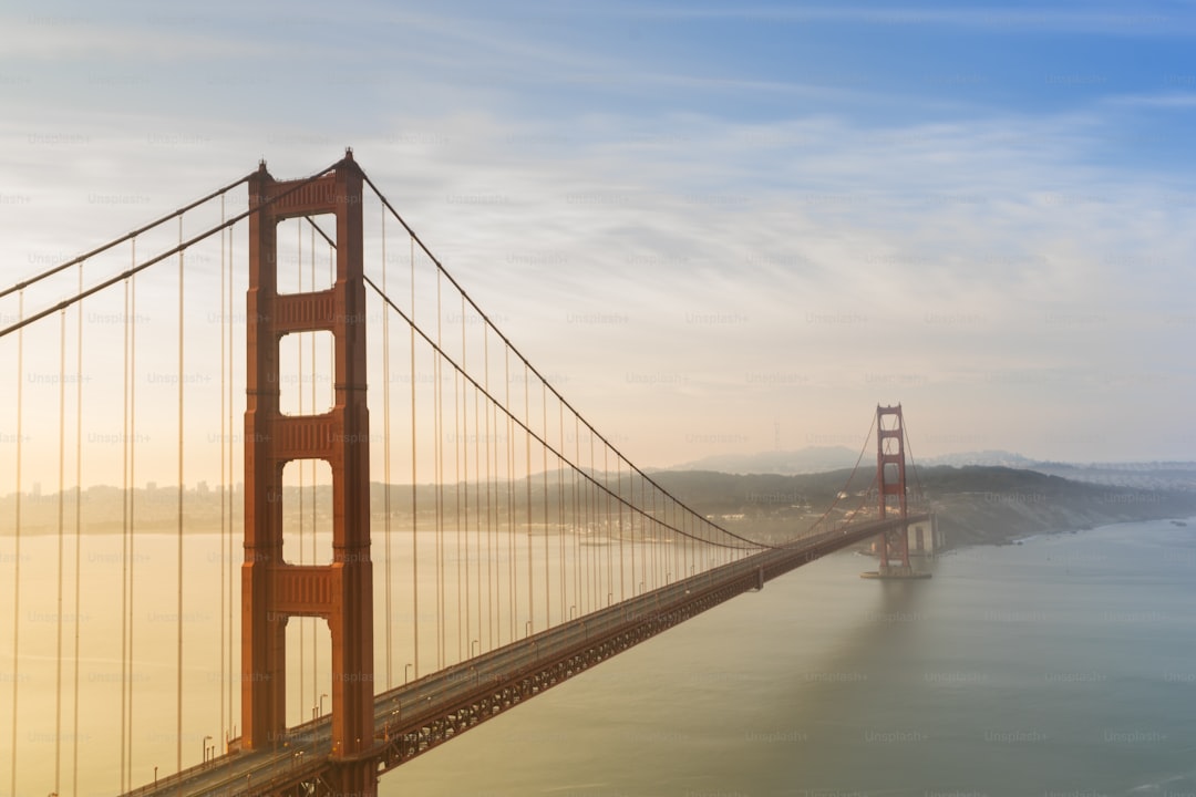
I’m a big believer in using the "back door" for views, especially at the Bixby Creek Bridge. Most people waste 47 minutes of their lives waiting in a line of cars for a photo op that you can get with zero wait time from the Molera Point trailhead just a twelve-minute walk away. It’s these little hacks that save your sanity. You also need to sync your watch with the tides if you want to see the good stuff, like the sea stacks at Shi Shi Beach or the tide pools further south. You’re looking for a -1.0 foot tide or lower, which only happens about 15 times a month, so check your charts before you head out. And if you’re worried about the cost of that coastal crawl, don't be. Driving Highway 1 is actually about twelve bucks cheaper in fuel than you might think because it avoids the steep elevation climbs of the inland routes, even if it takes longer. Just keep in mind that if you’re picking up a car in San Francisco, you might want to bring a locking cable organizer because the theft rate at Fisherman's Wharf is sitting at a lovely 8.7 per 1,000 rentals. It’s a messy, beautiful, and sometimes frustrating process, but if you plan for the constraints instead of just the dreams, the West Coast will absolutely deliver.
Research Methodology & Editorial Standards
We begin by defining the specific objectives the reader needs to accomplish. Primary product documentation and authoritative secondary sources inform every guide before drafting begins.
Figures and rules are checked against the sources available at the time of publication. Travel pricing changes constantly — always confirm current fares, rates, and terms with the provider before booking.