
Discover the Wild Heart of Québec Beyond French Canada
Take the Atikamekw: their territory in central Quebec’s boreal forest has one of the highest Indigenous language retention rates in Canada, with a majority still speaking Nehiromowin daily.
Unveiling Indigenous Heritage: The First Nations of Québec
Let’s be honest: when most people think of Quebec, they picture the cobblestone streets of Old Montreal or a plate of poutine in a ski chalet. But that’s just the topsoil of a story that runs about 10,000 years deeper. I’m talking about the 55 recognized First Nations bands across the province—far more than the tidy “11 nations” you’ll see in most tourist brochures. And here’s where it gets tricky: the Inuit, who live in 14 villages above the 55th parallel, aren’t even technically “Indians” under the Indian Act. That legal distinction isn’t just bureaucratic trivia—it shapes everything from land rights to how their communities are administered, and it means you’re dealing with two very different governance structures under one provincial roof. Combined, these 11 nations (the 10 First Nations plus the Inuit) make up just over 1% of Quebec’s population, but they maintain 41 communities, most of them reserves run by band councils. That density of cultural preservation in such a small demographic footprint is honestly remarkable.
If you want the clearest window into this mosaic, skip the generic museum dioramas and head straight to the permanent exhibition “This Is Our Story” at the Musée de la civilisation in Quebec City. It’s one of the only places where all 11 nations’ histories sit side by side, and the kicker? The content was curated by the nations themselves, not by outside anthropologists. That matters because the nuances get lost in translation otherwise. Take the Atikamekw: their territory in central Quebec’s boreal forest has one of the highest Indigenous language retention rates in Canada, with a majority still speaking Nehiromowin daily. Compare that to the Naskapi, who number fewer than 1,500 people in the remote community of Kawawachikamach—one of the least-visited Indigenous groups in the whole province. You could drive past their turnoff and never know they’re there. Or consider the Huron-Wendat at Wendake, just north of Quebec City, who’ve rebuilt a 17th-century fortified village that functions as a living museum. It’s not a reconstruction for tourists—it’s a functional teaching space where agricultural and trading traditions are still practiced.
What I find fascinating is how each nation’s modern identity is directly shaped by a specific skill or resource that’s been honed over centuries. The Mohawk community of Kahnawake, for instance, is world-famous for high-steel construction—their ironworkers helped raise the Empire State Building and the World Trade Center. That’s not a footnote; it’s a living lineage of precision and risk-taking that still defines the community today. Then you’ve got the Algonquin (Anishinaabe) nation, whose birchbark canoe-building techniques are so dead-on accurate that modern wilderness outfitters still use replicas for expeditions across Quebec’s river systems. Not nostalgic replicas—functional tools. And the Mi’kmaq, part of the larger Wabanaki Confederacy, left behind petroglyph sites near the Gaspé Peninsula containing some of the oldest surviving rock art in eastern North America. You can visit those carvings and trace your fingers over symbols that predate European contact by centuries. The point is, this isn’t a single Indigenous culture you can tick off in an afternoon. It’s 55 distinct bands, each with a different economic strategy, language vitality, and relationship to the land—and understanding those differences is where the real travel value lives.
Into the Untamed: Exploring the Taiga and Tundra of Northern Québec
If you think you know what remote looks like, wait until you try to wrap your head around the numbers coming out of Northern Québec. We’re talking about a section of the province that covers over 171,000 square miles—that’s roughly the size of a small country like Uruguay—yet it remains one of the least-visited corners of the continent. I’ve spent a lot of time looking at satellite data and travel patterns, and the drop-off in human density once you cross the 55th parallel is just staggering. You leave the dense boreal forests of the south and hit the Trans-Taiga Road, which is basically the final boss of overlanding routes in North America. It’s almost entirely industrial gravel, built to service those massive hydroelectric projects and remote mining outposts that keep the lights on further south.
Now, let’s be real about the landscape, because it isn't just one big green forest. You’re actually witnessing a massive biological shift as you move north from the taiga into the proper tundra. The taiga acts as this thick, brooding buffer of stunted black spruce and countless pristine lakes, but then the trees just... stop. You hit the Nunavik tundra, and the world opens up into a treeless expanse of Arctic and sub-Arctic vistas that feel genuinely primordial. I’m not sure there’s a better place on the planet to see that transition from dense forest to open permafrost without crossing an ocean.
If you’re plotting a route, you’ll likely use the James Bay Highway as your main artery before branching off onto the Nord-Taiga Traverse. And here’s the kicker: the "traffic" you’ll encounter is usually just a few industrial trucks or perhaps a local heading to a fishing camp. We’re talking about a vehicle density so low that if you break down, you’d better have a satellite communicator because "roadside assistance" is a relative term up there. It’s a harsh, unforgiving environment, but that’s exactly why the water systems are so clean and the wildlife is so undisturbed.
What really gets me, though, is the sheer "virginity" of the place. We throw the word "wilderness" around a lot in travel blogs, but in this part of Québec, it’s actually accurate. Much of this land has never felt a human footstep, and the air is so clear it almost hurts your lungs. You’ve got these massive coastal cliffs, jagged mountains, and wetlands that don't appear on most maps. If you’re the type of traveler who gets bored once the cell signal bars hit three, this is your spot. It’s not a vacation; it’s a proper expedition into a part of the world that refuses to be tamed.
Beyond the St. Lawrence: The Rugged Coastline of the Côte-Nord
Let’s be honest: when you picture the St. Lawrence River, you probably think of the calm, wide waterway that flows past Quebec City and Montreal. But drive east past Tadoussac, and that river transforms into something else entirely—a cold, saltwater estuary that feels more like the open ocean. I’m talking about the Côte-Nord, a region where Highway 138 hugs the coast for over 840 kilometers before simply giving up at Kegaska, a village of maybe 130 people. That’s the end of the road, literally, and beyond that point the landscape becomes impassable by car. What’s wild is that the St. Lawrence here isn’t even a river anymore in the traditional sense—by the time you reach Sept-Îles, the water is fully saline, and the tides can rise and fall by over three meters. You’re looking at a massive estuary, not a river channel, and the Laurentian Channel beneath the surface plunges to depths of over 500 meters, funneling cold, nutrient-rich water that sustains the region’s famous whale populations.
Now, here’s where the geology gets genuinely interesting. The Mingan Archipelago National Park Reserve is the standout feature, with over 1,000 islands and islets hosting the largest concentration of monoliths in Canada. These aren’t just any rock formations—they’re limestone pillars sculpted by wind and water into shapes that look almost artificial, like something out of a sci-fi film. And if you’re a whitewater enthusiast, the Magpie River is your holy grail, with one of the highest concentrations of Class V rapids in eastern North America. I’ve talked to kayakers who’ve run rivers all over the world, and they consistently rank the Magpie as a top-tier destination for technical, high-stakes paddling. But here’s what I find really fascinating: the Innu people have called this coastline home for thousands of years, and their traditional name for the region, Nutshimit, translates to "in the interior." That’s a crucial detail because it reveals a cultural orientation toward the boreal forest rather than the sea—a perspective that flips our modern, ocean-focused tourism narrative on its head.
Let’s pause and consider the sheer physical reality of this coastline. The St. Lawrence here isn’t a river you can see across—it’s a massive estuary where the water at Sept-Îles is fully saline and the tides can exceed three meters. The Laurentian Channel, the deepest part of the estuary, plunges to over 500 meters, funneling cold, nutrient-rich water that sustains the region’s famous whale populations. But here’s what most people miss: the coastline itself is a graveyard of maritime ambition, with over 200 documented shipwrecks along the north shore. The fog rolls in thick and fast, the rocky shoals are unforgiving, and the currents are brutal. I’ve spoken to local historians who say that for every documented wreck, there are probably a dozen more that were never recorded—small fishing boats that simply vanished. And then there’s the Mingan Archipelago, a chain of over 1,000 islands and islets featuring the largest concentration of monoliths in Canada. These limestone pillars have been sculpted by wind and water into shapes that look almost artificial, and you can kayak right up to them. It’s one of those places where the photos don’t do it justice because the scale is so hard to capture.
What I find most compelling about the Côte-Nord is how the human settlements here are defined by resource extraction and survival, not tourism. Baie-Comeau was founded in 1936 specifically to house workers for a massive pulp and paper mill—it’s one of the youngest urban centers in Quebec, with a planned industrial origin that feels almost Soviet in its intentionality. Havre-Saint-Pierre sits on an island connected to the mainland by a causeway, and its name literally means "Saint Peter's Harbor," a nod to the cod fishing that once defined the local economy. And then there’s Blanc-Sablon, near the Labrador border, which receives less than 800 millimeters of precipitation annually—one of the driest places in eastern Canada, thanks to the rain shadow effect of the surrounding highlands. The coastline is littered with the remains of over 200 documented shipwrecks, a testament to the treacherous fog and rocky shoals that have challenged mariners for centuries. But here’s what I keep coming back to: the Innu people have inhabited this coastline for thousands of years, and their traditional name for the region, Nutshimit, translates to "in the interior." That’s a profound cultural statement—it tells you that their identity is rooted in the boreal forest, not the sea that we modern travelers are so drawn to. The Côte-Nord isn’t just a road trip; it’s a collision of deep time, industrial ambition, and Indigenous resilience, all set against a coastline that refuses to be tamed.
The Eastern Townships: A Tapestry of Mountains, Farms, and Wine
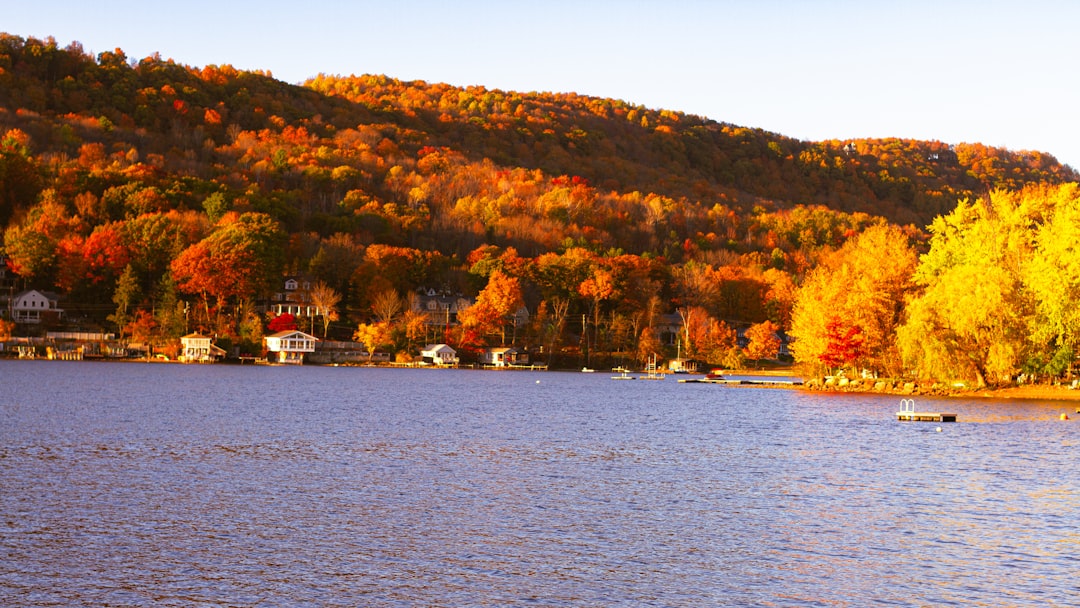
Let’s get one thing straight about the Eastern Townships: they shouldn’t work. Here you are, sitting on the 45th parallel north—the same latitude as Bordeaux, France—but with a growing season that barely scrapes 200 frost-free days. That’s about half of what Bordeaux gets, and it forces vintners to gamble on cold-hardy hybrid grapes like Frontenac and Marquette, both developed at the University of Minnesota back in the 1990s. Those grapes aren’t your typical Cabernet or Merlot—they’re bred to survive winters that would kill a traditional vine, and honestly, the fact that the region now produces over 70% of Quebec’s wine is a testament to agricultural stubbornness as much as terroir. The bedrock underneath it all? Part of the Appalachian Mountains, which are some of the oldest on Earth—over 480 million years old, way before the Rockies or Alps even existed. Glacial retreat about 10,000 years ago left behind these drumlins, these elongated hills that look like a basket of eggs, and they’re not just scenic—they improve drainage and warm up faster in spring, making them perfect for vineyards and organic fruit orchards alike.
Now, here’s where it gets weird in the best way. Lake Memphremagog, which straddles the Quebec-Vermont border, plunges 114 meters deep—one of the deepest lakes in southern Quebec—and it’s got a resident lake monster locals call “Memphre.” Over 200 reported sightings since the 19th century. I’m not saying it’s real, but I’m also not saying it’s not, because the cryptozoological history is better documented than most small-town folklore. And while you’re driving through those rolling hills, you’ll cross 22 covered bridges—the highest concentration in Quebec—many built with the patented “Town lattice truss” design that spans up to 55 meters without a central support. That engineering let farmers move produce across wide streams long before modern roads existed. Meanwhile, Mount Orford’s summit is made of peridotite, a dense igneous rock normally found deep in the Earth’s mantle, and its weathered minerals make the local rivers slightly alkaline—so you get rare calcareous-loving plant species you won’t see anywhere else in the province. That’s not a footnote; that’s a geological anomaly that shapes the entire microclimate.
And the human story is just as rich. The town of Knowlton (now part of Lac-Brome) was a key stop on the Underground Railroad in the 1850s, with a documented network of safe houses—the Bruck Barn still stands today. That history is tangible, not just a plaque on a wall. The region also has the highest proportion of English-speaking municipalities in Quebec—over 20 towns listed as bilingual or predominantly English—a direct legacy of United Empire Loyalist settlement after the American Revolution. So you’ve got this linguistic island embedded in la belle province, which makes the food and wine scene feel like a cultural fusion that doesn’t exist anywhere else. Maple syrup producers here tap into a unique microclimate on the leeward side of the Appalachians, giving them a sap-flow window up to six weeks long, compared to the three-week average elsewhere in Quebec. That means more syrup, better sugar content, and a flavor profile that serious maple connoisseurs chase. And despite representing less than 3% of Quebec’s land area, the Townships produce over 70% of the province’s wine and more than 60% of its artisanal cheese—all concentrated in that belt of rolling hills that benefit from the rain shadow of the Green Mountains to the east. If you’re looking for a region that packs history, geology, agriculture, and a dash of cryptozoology into a single weekend drive, this is it.
Whale Watching and Dark Skies: The Charlevoix and Maritime Québec Experience
If you’ve ever stood on the edge of the St. Lawrence and felt that mix of salt air and pure scale, you know the Charlevoix and Maritime Québec region isn't just a pretty backdrop—it’s a world-class biological hotspot that puts most "premium" wildlife destinations to shame. We’re talking about the Saguenay-St. Lawrence Marine Park, which is basically the intersection of two massive underwater highways: the deep, nutrient-rich Laurentian Channel and the outflow of the Saguenay Fjord. This specific confluence of fresh and saltwater creates a constant upwelling of krill and small fish, which is why you’ll find everything from massive blue whales to the more elusive belugas hanging out here like it’s their personal buffet. Most people just jump on the first boat they see, but if you’re looking for real value, you have to look at the hardware; the AML Grand Fleuve and AML Zephyr are specifically engineered for marine mammal observation with stabilized viewing platforms that actually minimize disturbance to the animals. You’re looking at a solid 3 to 3.5-hour commitment for these cruises, but that time is dictated by the tides and the real-time movement of the prey, not some arbitrary tour bus schedule. If you’re the type who wants to feel the spray and get a bit closer to the action, the Zodiacs leaving from Baie-Sainte-Catherine are the way to go, though you’ll trade comfort for that raw, adrenaline-fueled proximity to a 50-ton rorqual.
Now, here’s what the glossy brochures often miss: the quality of the data you’re getting. The naturalist guides on these boats aren't just there to point and smile; they’re certified pros who are basically providing a live briefing on migratory patterns and the local ecosystem’s health. I’m always a bit skeptical of "edutainment," but the way they break down the tidal shifts and how those 3-to-4-meter fluctuations dictate where the whales will be on any given morning is genuinely high-signal information. It’s one thing to see a spout in the distance, but it’s another to understand why the Saguenay Fjord’s freshwater layer sits on top of the saltier St. Lawrence water, creating this perfect layered habitat that you just don’t find in most coastal areas. And let’s be honest, the fact that this is an internationally recognized "premier" site means the regulatory environment is actually pretty strict, which keeps the "circus" boats out and focuses the experience on the biology. You’re not just a tourist here; you’re a spectator in a massive, open-air laboratory where the "specs" of the environment—like the 500-meter depth of the channel—directly correlate to the density of the cetaceans you’re seeing.
But here’s the kicker that really sets this experience apart from your standard coastal road trip: the transition from the deep blue to the deep black of a Dark Sky preserve. Once the sun goes down and the marine activity settles, the lack of light pollution in this part of Maritime Québec is so profound it almost feels like a different planet compared to the coastal industrial hubs further east. You can actually see the Milky Way reflecting off the same water where you were spotting whales just a few hours prior, and that kind of atmospheric clarity is getting harder to find in 2026. It’s a rare combination where the geological depth of the sea meets the infinite scale of the sky, and it makes for a travel narrative that’s way more textured than just "I saw a whale." If you’re planning the timing, try to sync your visit with the tidal charts—the same extreme fluctuations that bring the whales in also shape the rugged coastline you’ll be exploring after dark. It’s this intersection of hard science and sheer awe that makes the Charlevoix loop a must-do for anyone who wants their travel to have a bit more substance and a lot less "theme park" vibe.
The Laurentian Mountains: A Playground for Year-Round Adventure
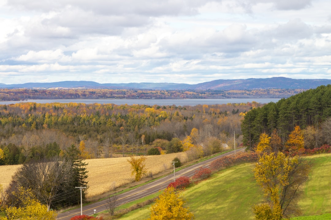
Look, if you're planning a trip to Quebec, you can't just breeze past the Laurentians. It's easy to dismiss them as just another set of hills, but from a geological standpoint, we're talking about some of the oldest rock on the planet—formations dating back a billion years. Think about that for a second; these peaks predated complex life by hundreds of millions of years. Because they've been eroded for so long, you don't get those jagged, aggressive alpine summits you see in the Rockies. Instead, you get these smooth, rounded, glaciated peaks that feel more like a welcoming embrace than a challenge. It's a landscape shaped by the Canadian Shield's granite and gneiss, which, honestly, is pretty nutrient-poor, but that's exactly why you find these incredible, slow-growing lichen colonies that are thousands of years old.
But here's where the real value is for the traveler: the infrastructure. The Laurentians basically invented the modern ski vacation in North America when they installed the continent's first ski lift at Mont Tremblant back in 1939. That wasn't just a convenience; it fundamentally shifted the economics of winter tourism. Now, you've got a tiered system of resorts—Mont-Tremblant is the heavyweight for world-class skiing, while Mont-Saint-Sauveur is the go-to for those who want something a bit more accessible. And it's not just about the downhill stuff. The cross-country network here is massive, covering over 800 kilometers of groomed trails. If you're into data, the way they maintain these trails based on real-time snowpack and temperature metrics is actually a masterclass in sports management.
When the snow melts, the region pivots into a completely different beast. I'm fascinated by the hydrographic density here; Mont-Tremblant National Park alone has over 400 lakes and ponds. This creates a weird, beautiful mosaic of microclimates where boreal and temperate species just overlap. You'll see brook trout in these oxygen-rich waters that researchers actually use as "canaries in the coal mine" for climate change. And while the geology is rugged, the land is surprisingly productive in odd ways. Because of the lake-effect moderation, you've got vintners growing cold-hardy grapes like Marquette and Frontenac. It's a bit of a gamble given the limited frost-free days, but it works, and it's a huge part of why the region feels so lived-in and authentic.
If you're trying to decide how to spend your time, my advice is to lean into the contrast. Spend a morning hiking through the "drumlin fields"—those teardrop-shaped hills that are so prominent you can see them from space—and then spend the afternoon on a lake. It's this rare combination of deep, primordial time and high-end resort comfort. Whether you're chasing the adrenaline of a black diamond run or just want to sit by a kettle lake and forget that Montreal exists, the Laurentians deliver. Just remember to get off the beaten path; the real magic happens when you move away from the resort villages and into the actual wilderness.
Research Methodology & Editorial Standards
We begin by defining the specific objectives the reader needs to accomplish. Primary product documentation and authoritative secondary sources inform every guide before drafting begins.
Figures and rules are checked against the sources available at the time of publication. Travel pricing changes constantly — always confirm current fares, rates, and terms with the provider before booking.