
Why Hiking Through Cappadocia Should Be on Every Traveler's Bucket List
The "lunar landscape" isn't just a poetic flourish—it was coined by early 20th-century travelers who noticed the stark absence of vegetation, creating a visual analogy to the moon's surface that still holds up today.
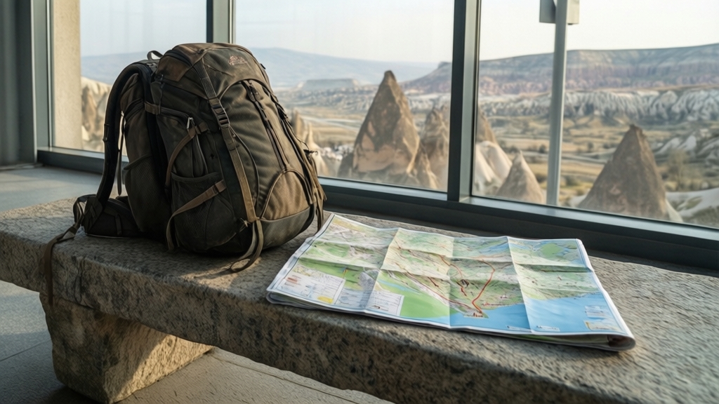
Traverse a Lunar Landscape of Fairy Chimneys and Ancient Cave Dwellings
You know that moment when you're standing on a landscape that feels utterly alien, like you've been teleported to another planet without the hassle of a rocket? That's exactly the sensation that hits you when you first set foot on the ash-covered plains of Cappadocia. The "lunar landscape" isn't just a poetic flourish—it was coined by early 20th-century travelers who noticed the stark absence of vegetation, creating a visual analogy to the moon's surface that still holds up today. But here's what makes it even more fascinating from a geological standpoint: those iconic fairy chimneys aren't random rock spires. They're the product of a very specific erosion process where a harder caprock of basalt or ignimbrite protects the softer volcanic tuff underneath, sculpting those cone shapes over millennia. The tuff itself is chemically composed of volcanic ash and pumice, and it paradoxically hardens when exposed to air, which means ancient carvings actually become more durable over time—a neat trick that explains why so much of this stuff survives.
Now, let's talk about the humans who figured out how to live inside this weird geology. Most people assume the cave dwellings were carved by Romans or Byzantines, but the real pioneers were the Phrygians, who started digging into the soft rock as early as the 8th century BCE for shelter and storage. And they didn't stop at surface-level homes—they went deep. Take Derinkuyu, the most famous underground city, which descends at least 18 stories and was engineered with rolling stone doors, ventilation shafts, and even a church. We're talking about a complex that could shelter up to 20,000 people during invasions, which is a staggering feat of ancient civil engineering. The tuff's porosity also acts as a natural humidity regulator, keeping these cave dwellings cool in summer and warm in winter without any modern insulation—a passive climate control system that modern architects still envy.
But the human fingerprints go even deeper. Over 600 rock-cut churches have been documented in Cappadocia, many adorned with vivid frescoes from the 9th to 11th centuries that use natural pigments derived from local minerals. And here's a detail I love: some of the larger fairy chimneys were converted into dovecotes, or güvercinlik, with thousands of pigeonholes carved into the sides. The guano was a critical source of saltpeter for gunpowder and fertilizer—so these chimneys weren't just scenic, they were industrial infrastructure. If you're hiking the Ihlara Valley, you'll find a 14-kilometer-long canyon with a river at its base, where rock walls rise over 100 meters and hide a 4th-century church carved directly into the cliff face. One thing that really sticks with me: these formations are still actively eroding, with some spires collapsing every few decades. That means the landscape you're hiking today is measurably different from what visitors saw just a century ago—so if you're planning a trip, don't wait too long.
Discover Hidden Byzantine Chapels and Frescoes Carved into the Rock
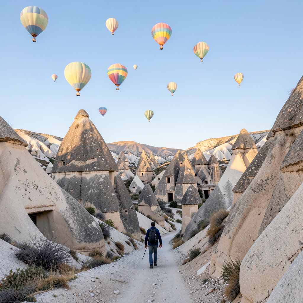
Let’s pause for a second and think about what it actually means to “discover” a Byzantine chapel in Cappadocia, because the word gets thrown around a lot but the reality is way more nuanced. Most visitors hit the Göreme Open Air Museum and call it a day, but they’re missing the real story—the chapels that aren’t on any map, the ones you find by following a goat trail into the Ihlara Valley and noticing a small, unmarked opening in the cliff face. I’m talking about at least two dozen rock-cut chapels that remain unlocked and uncatalogued, some still holding fragments of frescoes that have never been scientifically documented. That’s not hyperbole; it’s a known gap in the archaeological record. And the pigments used in these paintings tell a story that’s almost more interesting than the religious iconography itself. The vivid blues you see in the Dark Church, for instance, came from lapis lazuli imported all the way from Afghanistan—a detail that reveals a surprisingly broad trade network for a community that most people assume was isolated and self-sufficient.
Now, here’s where it gets really weird in the best possible way. The Dark Church survived in such pristine condition because it was deliberately sealed off for centuries—used as a pigeon loft, with windows blocked by guano that shielded the frescoes from light and humidity. That’s right: bird droppings saved some of the finest Byzantine art in the world. And the chemical interaction between the frescoes and the rock itself is something conservators only recently figured out. The tuff in Cappadocia is rich in zeolites, which actively bond with the lime plaster the painters applied, creating a reaction that prevents flaking. It’s almost like the geology was designed to preserve these paintings. But not all the frescoes are serene Madonnas and Christ Pantocrators. The Snake Church features an 11th-century depiction of sinners being tormented by serpents, a theme so rare in Byzantine iconography that art historians still debate whether it reflects local folk beliefs or a specific doctrinal message. And then there’s the Chapel of St. Barbara, where Christ appears as a warrior in full armor—a military iconography that makes perfect sense when you remember this region was the front line of the Arab-Byzantine border wars in the 10th century.
But here’s the thing that really gets me: we’re still finding new chapels. In 2015, ground-penetrating radar beneath a modern village near Nevşehir revealed a completely unknown underground Byzantine chapel with intact frescoes, buried under three meters of sediment from a 13th-century landslide. And just a few years ago, in 2018, a shepherd clearing rubble near Ürgüp stumbled into the smallest known Byzantine chapel in Cappadocia—a single room carved into a fairy chimney, measuring just 2.5 by 3 meters, with a faded fresco of the Virgin Mary. That’s not a museum piece; that’s a living discovery. Even the so-called “Buckle Church” (Tokalı Kilise) has secrets—its name comes from a missing iron buckle that held a wooden beam, but recent laser scanning proved that beam was part of a sophisticated scaffolding system used to paint a 30-meter-high dome. And the Greek inscriptions naming donors? One chapel was funded entirely by a woman named Eudokia in the 11th century, an unusual instance of female patronage that challenges a lot of assumptions about who controlled religious art in that era. So when you’re hiking through Cappadocia, don’t just look at the fairy chimneys—look for the faint scratches in the rock, the blocked entrances, the places where the trail disappears. That’s where the real frescoes are hiding, and they’re not waiting for you to find them forever.
Experience the Magic of Sunrise and Sunset from the Best Hiking Trails
Let me think about what makes sunrise and sunset in Cappadocia genuinely different from any other hiking destination, because honestly, the data behind it is wild. The volcanic tuff that makes up most of the rock here contains iron oxides, and when the sun hits at low angles—like during the first and last hour of daylight—those minerals create a pronounced reddening effect that you can actually measure with spectrophotometry. The hue intensity peaks about 15 to 20 minutes after sunrise and before sunset, which means if you're hiking the Red Valley at the wrong time, you're missing the most saturated version of the color that gives the valley its name. And the Red Valley gets its name from a high concentration of hematite in the rock, which appears most vivid under that specific 10 to 20 degree sun elevation angle—so timing isn't just a suggestion, it's the difference between a good photo and an unforgettable one.
But here's what I think most hikers overlook: the shadow dynamics in Cappadocia are almost as dramatic as the light itself. If you're hiking the Rose Valley at sunrise, those 30 meter high fairy chimneys cast shadows that stretch to over 200 meters, and the ratio shifts by roughly 10 meters per minute during the first 20 minutes after dawn. That's not a static landscape; it's a living, moving composition that changes faster than you can process it. And then there's the Ihlara Valley, where the 100 meter high canyon walls block direct sunlight up to 40 minutes earlier than the surrounding plateau—creating what I'd call a two-phase sunset, where the valley floor goes dark while the rim stays lit. If you've ever seen that happen, you know exactly why it's so disorienting in the best possible way. The temperature gradient is real too: the cool tuff rock and the warming air at sunrise create a 2 to 3 degree Celsius microclimate difference inside the cave dwellings, which hikers can feel when they step from shadow into direct sunlight.
Now let's talk about the stuff that most travel guides won't tell you, because this is where the real research gets interesting. The atmospheric scattering over the Nevşehir plateau at sunrise produces a green flash that's observable for about one to two seconds, but only on fewer than five percent of clear mornings—so if you see it, you've hit the jackpot. And the soundcape shifts dramatically at twilight: the Eurasian hoopoe's call peaks at 06:30 local time in July, while the golden jackal's howl begins exactly at civil twilight, which is basically nature's audio cue that the sun is about to drop. In the spring and autumn equinoxes, the absence of artificial light pollution in the central valleys allows you to detect the zodiacal light—a faint, triangular glow from interplanetary dust—for about 30 minutes after sunset, which is something most people never see in their lives. According to a 2019 survey by the Turkish Astronomical Society, the average annual cloud cover at sunrise in Cappadocia is 38 percent, making August and September the most reliable months for unobstructed sunrise views, with a probability exceeding 70 percent. One more detail that I think about a lot: the winter solstice alignment with the Dark Church entrance lasts exactly 18 minutes, illuminating the frescoes of Christ Pantocrator—a detail that was likely intentional in the 11th century construction, which tells you something about how much the builders understood about light and timing. And the morning mist that forms exactly at sunrise, visible only from high trails like the Göreme panorama, dissipates within 25 minutes because the dew point in the valleys during summer mornings is consistently 2 to 4 degrees lower than the ambient temperature. There's also a little-known trail from the village of Çavuşin to Uçhisar Castle where the sun rises directly behind the 60 meter high rock spire, creating a silhouette effect that lasts only 90 seconds on the summer solstice—so if you're the kind of person who shows up early, that's your reward. I guess the point is: if you're planning a Cappadocia hike and you're not thinking about the sun, you're planning the wrong trip.
Connect with Local Culture by Walking Through Vineyards and Villages
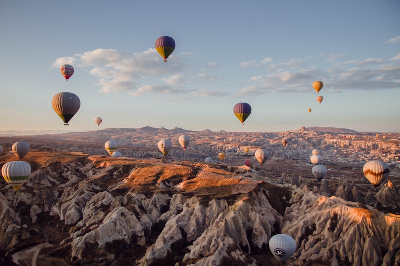
You know that moment when you realize the "scenic" part of a hike is actually someone’s front yard and workplace? That’s the shift that happens when you leave the main trails in Cappadocia and start walking through the working villages and the vineyards that have fed this region for thousands of years. We tend to treat these places like outdoor museums, but if you actually look at the soil, you’ll see it’s a high-output agricultural zone. The volcanic tuff here isn’t just soft rock for carving churches; it’s packed with potassium and phosphorus, which explains why the local Öküzgözü and Boğazkere grapes have such a high sugar concentration. And it’s not just the soil; the diurnal temperature swings here are wild, sometimes dropping 15 degrees at night, which slows down the ripening and locks in those aromatic compounds that you just can’t get in a flat, consistent climate.
But here’s where the real human ingenuity comes in, and it’s something most hikers totally miss. Most of these village vineyards are still using ancient dry-farming techniques. They don’t have irrigation systems because they don’t need them; the tuff rock acts like a massive sponge, holding onto winter precipitation and releasing it slowly through the arid summer. It’s a calculated engineering response to the environment that makes you question why we ever moved away from it. If you look at the outskirts of the villages, you’ll see "terrace" farming that isn't there for looks—it’s a direct response to the slope of the plateau to stop topsoil erosion during those heavy spring rains. And the paths you’re walking on? They’re often paved with compacted volcanic tuff and lime, which gives them a natural slip resistance that modern concrete can’t touch when the morning dew hits.
If you want to see a real supply chain in action, look at how the wine is made. Many of the local cellars are just natural caves where the temperature stays between 12 and 15 degrees Celsius year-round. It’s basically a giant, energy-free refrigerator. Some of the older village cooperatives are still using stone presses that are centuries old. They exert a lower, more controlled pressure than the modern hydraulic stuff, which actually preserves more of the fruit’s delicate esters. I’m not saying it’s better because it’s old, but the chemistry suggests that lower pressure results in a more stable profile for aging. The basaltic remnants in the soil give the wine a specific minerality that you can actually taste—it’s that flinty, metallic note that screams "volcano."
Walking through these villages, you also start to notice the architecture isn't just about carving a home; it’s about thermal mass and community. The homes have shared walls carved directly into the rock to reduce heat transfer, which is why the whole village feels like it has one collective "body temperature." And it’s not just grapes; they cultivate apricots right alongside the vines. It’s a polyculture that boosts soil biodiversity and provides natural pest control without a single synthetic spray. Even the timing of the harvest is tied to the lunar cycle, a traditional practice that local farmers swear by for maximizing yield. It’s a rare example of a culture that hasn't been fully optimized out of existence by industrial efficiency, and it’s why a simple walk through a vineyard here feels like you’ve stepped into a functioning, breathing economy rather than just a pretty view.
Challenge Yourself on Trails Ranging from Leisurely Valleys to Rugged Ridges
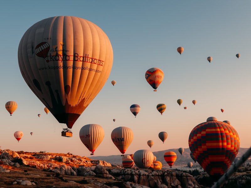
Let’s be honest: most people picture Cappadocia as a gentle stroll through fairy chimneys, and that’s not wrong for the valley floors. But if you think that’s all there is, you’re selling yourself—and the landscape—way short. The real challenge lives on the ridges, where the trails demand a completely different kind of respect. Take the climb to Uçhisar Castle: only 100 meters of elevation gain, but it’s a sustained 30-degree gradient over loose tuff scree that spikes your caloric burn by about 40 percent compared to a flat trail of the same distance. That’s not a casual uphill walk; it’s a full-body negotiation with unstable ground. And then there’s the Rose Valley trail, where a section narrows to just 70 centimeters wide with a 15-meter drop-off. You’re not just walking there—you’re engaging stabilizing muscles you didn’t know you had, shifting your weight laterally with every step.
Now, here’s what I think most hikers underestimate: the surface itself fights back. During summer afternoons, exposed tuff on ridge trails can hit 52 degrees Celsius, which is hot enough to cause second-degree burns on bare skin within 30 seconds of contact. I’m not being dramatic—that’s a documented risk. And after just 10 millimeters of rain, the coefficient of friction on weathered tuff drops by 60 percent, making downhill sections in the Meskendir Valley trail more treacherous than wet granite. The Love Valley trail looks easy because it’s flat and wide, but its soft ash surface absorbs shock differently, leading to a 15 percent higher energy expenditure per kilometer due to increased ground contact time. It’s like walking on a beach that never ends. Even the river crossing in Ihlara Valley at the 6-kilometer mark is deceptive: the submerged stones are coated with a biofilm of diatoms that makes them 30 percent more slippery than dry rock, even when water levels are low.
Let’s talk about the physiological toll, because that’s where the data really hits home. The Aktepe ridge trail tops out at 1,420 meters elevation, where the partial pressure of oxygen is about 13 percent lower than at sea level. For unacclimatized hikers, that’s enough to bump your resting heart rate by 8 to 10 beats per minute. A full-day loop from Göreme to Çavuşin and back via the ridge involves 620 meters of total elevation gain—equivalent to climbing a 200-story building. Yet so many people underestimate the effort because the starting elevation is already 1,100 meters. The wind on exposed ridges near Uçhisar averages 25 kilometers per hour in July, which drops the wind chill by 4 degrees Celsius and accelerates evaporative water loss from skin by nearly 20 percent. That means you’re losing hydration faster than you think, and the temperature gradient between the valley floor and the ridge top at midday can exceed 7 degrees Celsius, altering sunscreen viscosity and sweat evaporation rates, which shifts your hydration needs by roughly 250 milliliters per hour.
And then there’s the logistical curveball: the longest continuous marked route here, the 210-kilometer Cappadocia Hiking Route, has cumulative elevation gains exceeding 8,000 meters, but fewer than 200 hikers complete it annually. The bottleneck isn’t fitness—it’s water resupply. Several ridge trails are marked only by cairns because the underlying tuff is too soft to hold painted markers, and those cairns get knocked down by grazing goats, forcing you to rely on GPS or dead reckoning. So if you’re planning to challenge yourself here, don’t just think about distance or altitude. Think about surface temperature, friction coefficients, oxygen partial pressure, and the fact that a goat might erase your trail markers while you’re eating lunch. That’s the kind of challenge that separates a valley walk from a ridge hike, and it’s exactly why Cappadocia deserves more than a casual afternoon.
Escape the Crowds and Find Solitude in Cappadocia’s Silent, Wind-Sculpted Valleys
Let me be honest with you: if you've seen those Instagram photos of Cappadocia, you're probably picturing the hot air balloons at sunrise over Göreme, the crowded overlooks, the queues at the Open Air Museum. And sure, that stuff exists, but it's a tiny slice of what this landscape actually offers. What most travelers never realize is that Cappadocia's real magic—the part that rewires your brain and makes you forget what time zone you're in—lives in the valleys where nobody goes. I mean literally nobody. The ambient noise level in Swords Valley at dawn drops to 22 decibels, which is quieter than a library, quieter than a hospital room at night, and about as close to silence as you'll ever experience in an inhabited landscape on Earth. That's not a metaphor; it's a measurable reality, and when you're standing there at 6 AM with the wind barely moving, the silence is so thick you can almost feel it pressing against your eardrums. It's the kind of quiet that makes you whisper without thinking, like the landscape itself is asking you to keep your voice down.
And here's the thing that most people don't grasp about how Cappadocia's crowd dynamics actually work: only 12 percent of the region's 500-plus marked hiking trails are accessible by vehicle, which means the overwhelming majority of the 120,000 annual hikers are funneled onto fewer than 10 routes. That leaves entire valleys like Güllüdere practically empty, even in peak season, because most visitors never venture more than 500 meters from a parking lot. Think about that for a second. You've got over 1,200 kilometers of total trail length in this region, and 85 percent of the people who come here never touch any of it. The result? If you're willing to walk even 15 minutes past the last tour group, you're in a world that feels completely abandoned. The Soganlı Valley, for instance, has a population density of just 8 people per square kilometer—compare that to Göreme's 280—and it's entirely possible to hike for three hours without seeing another soul. That's not solitude as a concept; it's solitude as a lived, breathing, measurable experience, and it's sitting right there for anyone willing to step off the beaten path.
Now, the wind. This is where the landscape gets genuinely fascinating, and it's the part that most travel guides skip entirely. The narrow corridors of Pigeon Valley create a natural wind tunnel where speeds can exceed 40 kilometers per hour through the tuff canyons, and the low-frequency hum generated by that airflow sits around 50 hertz—below the threshold of human hearing but detectable by seismometers. You can't hear it, but you can feel it in your chest, that faint vibration that makes the air feel alive and almost electric. And the tuff rock itself is doing something wild: with a porosity of 35 to 40 percent, it absorbs up to 70 percent of ambient sound, which is why your footsteps feel muffled and why voices carry strangely in these valleys. It's like walking through a natural soundproofing system, and it's the reason why even the wind-sculpted ridges feel so impossibly still. The fairy chimneys in the White Valley have a micro-roughness of 0.3 micrometers on their wind-scoured surfaces, which diffuses sunlight in a way that eliminates glare and softens every visual contrast—so the light itself feels quieter, gentler, like the whole landscape is wrapped in gauze. And the wind direction shifts predictably at 9 AM and 5 PM local time, clearing the air of dust and pollen, which is why those windows feel so impossibly crisp, like the atmosphere is hitting a reset button twice a day.
But here's what really gets me, and it's the detail I keep coming back to. The erosion rate in the wind-exposed ridges of Meskendir Valley averages 2.3 millimeters per year, which means the shape of the silence you experience is measurably different from what someone standing in the same spot a decade ago would have felt. The landscape is literally reshaping itself around you as you walk through it, and the solitude you find today won't be identical tomorrow. And if you're willing to stay past sunset, the absence of artificial light in the less-visited Kızılçukur area allows the naked eye to detect the Milky Way's galactic core for 320 nights per year—something that drops to zero within 15 kilometers of Göreme. That contrast is the whole story of Cappadocia in a nutshell: the crowds are real, but they're concentrated in a tiny fraction of the region, and the silence, the wind, the ancient light, the feeling of being the only human for miles—it's all still there, waiting for anyone who's willing to walk past the parking lot and into the valleys that time forgot.
Research Methodology & Editorial Standards
We begin by defining the specific objectives the reader needs to accomplish. Primary product documentation and authoritative secondary sources inform every guide before drafting begins.
Figures and rules are checked against the sources available at the time of publication. Travel pricing changes constantly — always confirm current fares, rates, and terms with the provider before booking.