
The Ultimate Bucket List for Your Next West Coast Road Trip
You’re looking at a journey that spans from the active spreading centers in the Gulf of California—where the peninsula is literally drifting northwest at six centimeters a year—up to the complex subduction zones of the Cascadia fault.
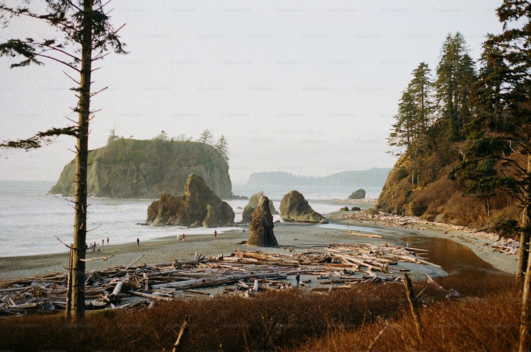
Mapping the Ultimate Route: From Baja Sur to British Columbia
Mapping a route from the sun-drenched tip of Baja Sur all the way to the rugged inlets of British Columbia isn't just a drive; it's essentially a masterclass in geology and marine biology. You’re looking at a journey that spans from the active spreading centers in the Gulf of California—where the peninsula is literally drifting northwest at six centimeters a year—up to the complex subduction zones of the Cascadia fault. It’s wild to think that as you head north, you’re traversing a physical record of seismic history that defines the entire West Coast. I always suggest keeping an eye on the coastal transitions, because the shift from the intense upwelling systems of Northern California to the sheltered, warmer waters of places like Desolation Sound is where the real magic happens.
When you hit the Pacific Northwest, you’ll notice the environment becomes much more than just scenery. The coastal fog belt isn't just for atmosphere; it’s a vital hydrologic engine, providing nearly a third of the annual water intake for the redwoods. Then there’s the oyster story, which is honestly one of my favorite things to track along the route. You’ll find that native Olympia populations are rebounding in Washington estuaries thanks to serious restoration efforts, acting as a living barometer for regional ocean acidification. It’s pretty incredible to see how these tiny organisms serve as such high-signal indicators of the broader health of our marine ecosystems.
If you’re looking to get out of the car, the infrastructure is finally catching up to the ambition of the geography. We are seeing massive progress on the long-haul bikepacking routes that aim to link 5,000 miles of trail, and the new Washington segments are a perfect example of smart design. By repurposing historic rail corridors, they’ve managed to keep gradients at a manageable three percent, which makes the terrain accessible even if you aren't a pro cyclist. Just be mindful that road engineering in BC is a different beast entirely, as builders have to contend with ancient glacial till that makes drainage a constant challenge during the heavy rains. It’s a complex, living landscape, and understanding these technical underpinnings makes the drive feel a whole lot more rewarding.
Iconic Coastal Landscapes and Must-See National Parks
When you’re planning a route through these iconic coastal landscapes, it helps to view these national parks not just as scenic pit stops, but as distinct, high-stakes laboratories for ecological and geological processes. Take the Channel Islands, for instance, which function as an evolutionary testing ground with 145 species found nowhere else on earth, like the island scrub-jay that branched off from its mainland cousins in total isolation. You’ll find a similar intensity in the Hoh Rainforest at Olympic National Park, where the sheer volume of 140 inches of annual precipitation creates a carbon-sequestering powerhouse that relies on massive nurse logs to drive its centuries-long regeneration cycles. It’s honestly fascinating to compare how these environments manage resources, especially when you look at how redwoods in the south effectively "drink" the fog to survive through dry summers.
Moving inland and north, the sheer scale of the geological history becomes even more apparent if you know what to look for. Crater Lake isn't just a stunning photo op; it’s a direct window into the collapse of Mount Mazama 7,700 years ago, and because it’s fed purely by snowmelt, its clarity remains unmatched among deep-water systems in the U.S. Then you have spots like Point Reyes or Pinnacles, which essentially tell the story of the San Andreas Fault’s movement, with Pinnacles standing as a literal volcanic fragment displaced 200 miles from its origin. It gives the hike a completely different feel when you realize the rock formations under your boots are essentially traveling passengers on a tectonic plate.
And if you want to see the front lines of our current climate shifts, look at the North Cascades, which hold the highest density of glaciers in the lower 48 states. Those 300-plus ice masses act as vital cold-water banks for the region’s rivers, but watching them thin in real-time provides a pretty stark, high-resolution dataset on how regional temperatures are recalibrating our alpine water systems. Whether you’re birdwatching for California condors near the thermal updrafts of rocky spires or trekking through temperate rainforests, I think the real value of these trips is in connecting those massive, slow-moving physical realities to the fleeting moments we experience on the trail. Let’s look at how we can prioritize these stops to get the most out of your time on the road.
Retro Charm: Discovering the Best Historic Motels Along the Coast
Let’s pause for a moment and shift our focus from the raw geology to the human-made structures that define our coastal journeys. You know that feeling when you pull into a classic motor court, and everything just clicks—the layout, the history, the sense of arrival? It’s not accidental. The rise of the motor court in the 1930s was a direct response to the shift from luxury rail travel to the affordability of the Model T, which forced architects to prioritize parking right next to your sleeping quarters. Many of these coastal spots used a smart U-shaped layout, acting as a natural windbreak against those relentless Pacific drafts that can ruin an evening on the coast. I’ve always found it fascinating that those iconic neon signs weren't just for flair; they were designed with low-voltage transformers to cut down on fire risks in old, wood-frame buildings.
If you look closely at these places, you’ll start to see the engineering choices made decades ago. Take the passive cooling techniques, for instance, like the concrete brise-soleil screens on south-facing windows that kept things comfortable long before central air was standard. Or consider the high-contrast primary colors on the doors—that wasn't just a style choice, but a functional solution to help you find your room in the thick, disorienting coastal fog. And honestly, the choice of materials was brilliant. Using old-growth redwood siding wasn't just about looks; it provided natural, tannin-rich resistance to the constant salt-air corrosion that eats through modern construction in no time.
It’s pretty impressive how these structures have held up, especially when you consider the seismic reality of the West Coast. I’ve noticed that several of these historic gems have been quietly retrofitted with modern seismic dampeners, allowing them to keep their original, charming facades while actually meeting current safety standards for the fault zones they sit on. Even the swimming pools tell a story, moving from simple concrete basins to those classic kidney-bean shapes thanks to advancements in 1950s gunite spray technology. So, when you’re booking your next stop, try to look past the vintage aesthetic and see the technical ingenuity that’s kept these places standing for nearly a century. It makes the stay feel a lot more grounded, doesn’t it?
Culinary Hotspots: Iconic West Coast Flavors and Local Delicacies
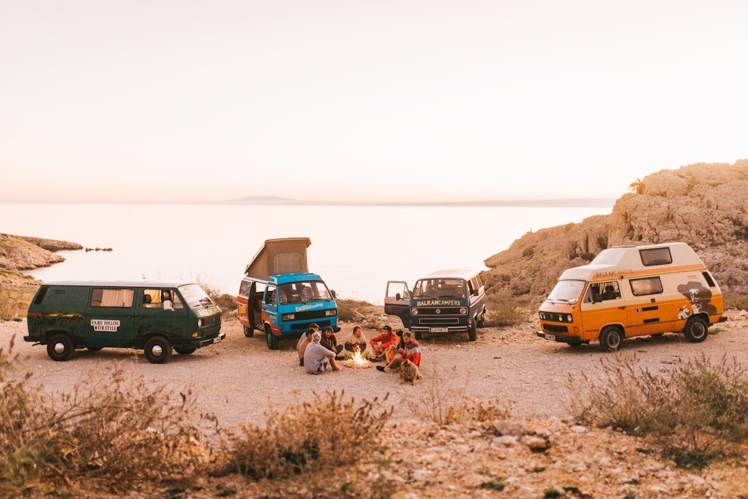
When you’re driving the coast, the food isn't just fuel; it’s an extension of the geography itself. I think if you really want to understand the West Coast, you have to look at the plate as a direct reflection of the ecosystem outside your window. Think about the geoduck clams you’ll find in the Pacific Northwest—these massive, long-lived creatures are essentially a masterclass in biology, capable of thriving for over 160 years. Or consider the Dungeness crab, a staple that’s honestly become a high-signal indicator for the health of our waters, as they’re incredibly sensitive to the shifts in ocean acidity we’re seeing right now. It’s a bit humbling to realize that the biodiversity fueling these menus is balancing on such a delicate environmental edge.
And then you have those hyper-local delicacies that only exist because of very specific, almost stubborn, natural conditions. In San Francisco, that iconic sourdough isn't just about a recipe; it’s the result of a symbiotic dance between yeast and a specific bacterium that happens to love the bay’s unique microclimate. If you head south, you’ll notice the olive oils start to pack a much sharper, more complex punch, which comes down to the huge temperature swings between day and night in California’s interior valleys. It’s fascinating how that thermal stress forces the fruit to concentrate its polyphenols, giving you a flavor profile you just can’t replicate in more stable climates.
But we can't talk about West Coast flavors without mentioning the deep-water secrets that reach our plates. The black cod—or sablefish—found in the cold, deep reaches of the North Pacific is packed with healthy oils as an evolutionary hack to stay buoyant, which is exactly what gives it that signature buttery texture. Then you have the spot prawns in British Columbia, which go through a complex life-stage transition that makes sustainable harvesting a constant, calculated balancing act. Honestly, whether you’re geeking out over the volcanic Jory soils that give Willamette Valley Pinot Noir its distinctive mineral backbone or just enjoying a fresh catch, you’re tasting the landscape. Let’s dive into how you can actually map your stops to hit these spots without missing the best of what the coast has to offer.
Hidden Gems and Off-the-Beaten-Path Adventures
When we talk about the West Coast, it’s easy to get locked into the well-trodden paths that everyone hits, but the real magic often lives just beyond the reach of the standard GPS route. You know that feeling when you find a place that seems entirely untouched by the typical tourist rush? That’s what we’re chasing here. For instance, the Lost Coast of California remains one of the most secluded stretches of shoreline in the United States simply because the rugged King Range mountains forced engineers to route the highway inland decades ago. This isolation has preserved pristine tide pool ecosystems where ochre sea stars grow to nearly 10 inches—significantly larger than those you’d find in high-traffic zones—giving you a rare look at a marine environment functioning without constant human pressure.
If you’re willing to detour into the quieter pockets of the Pacific Northwest, you’ll start to see things that most people drive right past. Take the temperate rainforests of the Olympic Peninsula, where thick layers of club moss act as a massive sponge, storing up to 20 times their weight in water to keep the watershed functioning through the driest months. It’s pretty wild to realize that these tiny biological filters are doing more heavy lifting for the local environment than any man-made infrastructure. Then there are the salt marshes in hidden estuaries that sequester carbon at rates nearly 40 times faster than mature terrestrial forests, acting as a secret, high-efficiency engine for the regional climate.
Even the rocks under your feet have a story to tell if you’re paying attention to the right spots. Along the coast of Northern California, you’ll find incredible tafoni rock formations—those honeycomb-like structures etched into sandstone by centuries of cyclic salt crystallization—which create these strange, alien landscapes that feel lightyears away from the nearby beaches. And if you head into the Cascades, the historic railway trails you’re riding often cut through basalt flows that are over 15 million years old, essentially letting you walk across a massive visual timeline of ancient volcanic events. It’s these specific, high-signal details that turn a standard road trip into a real exploration. Honestly, I think the best way to travel is to prioritize these spots, not just for the photos, but to understand how these isolated genetic pools and rare geological features are holding the whole coast together.
Planning for Success: Expert Tips for Your West Coast Road Trip
Planning for a road trip of this scale is less about just picking a destination and more about managing the technical variables of a volatile environment. You’re essentially operating a vehicle through a series of microclimates, and I’ve found that the most successful trips come down to how well you anticipate these shifts. For starters, your tire pressure is going to be your best friend or your worst enemy; those dramatic temperature swings between the cool, marine-influenced coast and the hot inland valleys can cause pressure to fluctuate by several pounds per square inch in a single day. If you aren't checking your tires daily, you're looking at uneven wear and reduced fuel efficiency before you even hit the halfway mark. It’s also worth noting that your fuel efficiency will naturally dip by up to 15 percent when you transition from sea-level highways to those high-elevation mountain passes, so keep your planning buffer realistic.
When you’re mapping out your charging or refueling stops, don't ignore the hidden electrical load of the region. If you’re driving an older adventure rig, those high-output alternators are a smart upgrade because the constant, necessary use of headlights in the persistent coastal fog belt creates a continuous electrical demand that often exceeds standard factory specs. And if you’re relying on solar gear for your campsite, remember that coastal fog dispersal patterns are pretty fickle; cloud cover can actually slash your photovoltaic output efficiency by nearly 60 percent. I’ve learned the hard way that cellular signal attenuation in deep coastal canyons is a real issue, too, as the high mineral content of the surrounding metamorphic rock walls acts like a natural shield against your GPS and data connections. It sounds like a minor detail, but having your offline maps ready before you enter those dead zones is a total game-changer.
Finally, consider the actual physics of your vehicle’s exterior. Those roof-mounted cargo boxes might seem convenient, but wind resistance data shows they can influence your fuel economy by up to 8 percent due to the constant, prevailing Pacific crosswinds. If you’re in an area prone to high salt exposure, a little proactive maintenance—like using high-zinc primers on your vehicle’s undercarriage—will save you from the rapid oxidation that happens when sea air meets iron-based components. It’s also worth being mindful that road engineering here is built for specific conditions, with high-porosity asphalt designed to manage the massive hydrodynamic pressure of seasonal rainfall. Honestly, when you stop thinking about the car as just a way to get from A to B and start treating it as a system interacting with the coast’s unique geology and weather, the whole drive just clicks into place.
Research Methodology & Editorial Standards
We begin by defining the specific objectives the reader needs to accomplish. Primary product documentation and authoritative secondary sources inform every guide before drafting begins.
Figures and rules are checked against the sources available at the time of publication. Travel pricing changes constantly — always confirm current fares, rates, and terms with the provider before booking.